Earthquake SOUTH OF KERMADEC ISLANDS
Mon, 25 Jan 2010 14:08:29 GMT
Time16 years ago
Location
-32.8600, 179.9700
Depth
47.0 KM
Event Summary
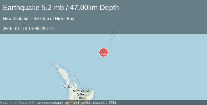
A 5.2 magnitude earthquake struck on SOUTH OF KERMADEC ISLANDS, at Mon, 25 Jan 2010 14:08:29 GMT. Depth: 47km. Reviewed by EMSC seismologists, this moderate quake occurred at a magnitude type of mb.
Magnitude
5.2
mb
Source
EMSC
Intensity
-
Agency Reports
1 Sources| Source | Magnitude | Depth | Time |
|---|---|---|---|
| EMSCPrimary | 5.2 | 47 km | 16 years ago |
Earthquake Details
AutomaticEvent IDemsc_EMSC_20100125_0000026
Tsunami PotentialNo
Magnitude Typemb
Nearest Places
- Kuiwai Seamount35.4 km
- Haungaroa Seamount45.6 km
- Oliver Knoll61.7 km
- Speight Knoll66.8 km
- Ngātoroirangi Seamount98.7 km
Comments
Join the discussion about this event.
Latest Earthquakes
1.7Mag
British Columbia, Canada
Time4 minutes ago
Depth15.99 km
SourceVYT (Automatic)
1.7Mag
7 km SSE of Pāhala, Hawaii
Time5 minutes ago
Depth43.23 km
SourceUSGS (Automatic)
1.6Mag
36 km NNW of Mentone, Texas
Time8 minutes ago
Depth7.26 km
SourceUSGS (Automatic)
2.8Mag
South Australia
Time8 minutes ago
Depth10.00 km
SourceVYT (Automatic)
2.4Mag
Finland-Russia border region
Time8 minutes ago
Depth0.00 km
SourceVYT (Automatic)
Nearby Earthquakes
5.1Mag
SOUTH OF KERMADEC ISLANDS
Time7 years ago
Depth246.00 km
SourceEMSC (Automatic)
5.1Mag
SOUTH OF KERMADEC ISLANDS
Time1 year ago
Depth198.70 km
SourceEMSC (Automatic)
4.0Mag
SOUTH OF KERMADEC ISLANDS
Time2 years ago
Depth357.00 km
SourceGNS (Automatic)
4.0Mag
SOUTH OF KERMADEC ISLANDS
Time5 years ago
Depth302.00 km
SourceGNS (Automatic)
4.0Mag
SOUTH OF KERMADEC ISLANDS
Time2 years ago
Depth340.20 km
SourceEMSC (Automatic)