Earthquake SOUTH OF KERMADEC ISLANDS
Fri, 13 Mar 2020 12:07:13 GMT
Time5 years ago
Location
-32.8900, 179.7300
Depth
302.0 KM
Event Summary
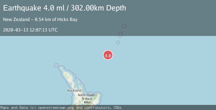
A 4.0 magnitude earthquake struck on SOUTH OF KERMADEC ISLANDS, at Fri, 13 Mar 2020 12:07:13 GMT. Depth: 302km. Reviewed by GNS seismologists, this light quake occurred at a magnitude type of ml.
Magnitude
4.0
ml
Source
GNS
Intensity
-
Agency Reports
1 Sources| Source | Magnitude | Depth | Time |
|---|---|---|---|
| GNSPrimary | 4.0 | 302 km | 5 years ago |
Earthquake Details
AutomaticEvent IDemsc_GNS_20200313_0000072
Tsunami PotentialNo
Magnitude Typeml
Nearest Places
- Kuiwai Seamount44.6 km
- Haungaroa Seamount66.6 km
- Oliver Knoll78.5 km
- Speight Knoll84.8 km
- Ngātoroirangi Seamount94.2 km
Comments
Join the discussion about this event.
Latest Earthquakes
1.1Mag
10 km WNW of The Geysers, CA
Time5 minutes ago
Depth2.07 km
SourceUSGS (Automatic)
1.6Mag
Southern Alaska
Time9 minutes ago
Depth0.12 km
SourceVYT (Automatic)
1.5Mag
Southeastern Alaska
Time12 minutes ago
Depth13.67 km
SourceVYT (Automatic)
4.8Mag
offshore Coquimbo, Chile
Time14 minutes ago
Depth0.00 km
SourceVYT (Automatic)
3.4Mag
Timor Region
Time14 minutes ago
Depth128.23 km
SourceBMKG
Nearby Earthquakes
5.1Mag
SOUTH OF KERMADEC ISLANDS
Time1 year ago
Depth198.70 km
SourceEMSC (Automatic)
4.0Mag
SOUTH OF KERMADEC ISLANDS
Time2 years ago
Depth357.00 km
SourceGNS (Automatic)
4.0Mag
SOUTH OF KERMADEC ISLANDS
Time11 months ago
Depth5.00 km
SourceGNS (Automatic)
5.1Mag
SOUTH OF KERMADEC ISLANDS
Time7 years ago
Depth246.00 km
SourceEMSC (Automatic)
4.0Mag
SOUTH OF KERMADEC ISLANDS
Time5 years ago
Depth177.00 km
SourceGNS (Automatic)