Earthquake SOUTH SANDWICH ISLANDS REGION
Mon, 08 Feb 2010 12:08:28 GMT
Time16 years ago
Location
-56.2200, -24.4900
Depth
10.0 KM
Event Summary
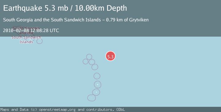
A 5.3 magnitude earthquake struck on SOUTH SANDWICH ISLANDS REGION, at Mon, 08 Feb 2010 12:08:28 GMT. Depth: 10km. Reviewed by EMSC seismologists, this moderate quake occurred at a magnitude type of mb.
Magnitude
5.3
mb
Source
EMSC
Intensity
-
Agency Reports
1 Sources| Source | Magnitude | Depth | Time |
|---|---|---|---|
| EMSCPrimary | 5.3 | 10 km | 16 years ago |
Earthquake Details
AutomaticEvent IDemsc_EMSC_20100208_0000023
Tsunami PotentialNo
Magnitude Typemb
Nearest Places
- 44.2 km
- 57.5 km
- 98.4 km
- 149.5 km
- 161.1 km
Comments
Join the discussion about this event.
Latest Earthquakes
2.5Mag
Flores Region, Indonesia
Time3 minutes ago
Depth78.07 km
SourceBMKG
2.4Mag
Sumbawa region, Indonesia
Time3 minutes ago
Depth0.00 km
SourceVYT (Automatic)
1.5Mag
6 km NE of Calexico, CA
Time7 minutes ago
Depth11.93 km
SourceUSGS (Automatic)
2.6Mag
Minahassa Peninsula, Sulawesi
Time7 minutes ago
Depth5.00 km
SourceBMKG
2.6Mag
Minahassa Peninsula, Sulawesi
Time10 minutes ago
Depth77.06 km
SourceBMKG
Nearby Earthquakes
5.3Mag
SOUTH SANDWICH ISLANDS REGION
Time8 years ago
Depth30.00 km
SourceEMSC (Automatic)
5.4Mag
SOUTH SANDWICH ISLANDS REGION
Time14 years ago
Depth10.00 km
SourceEMSC (Automatic)
5.0Mag
SOUTH SANDWICH ISLANDS REGION
Time13 years ago
Depth10.00 km
SourceEMSC (Automatic)
5.3Mag
SOUTH SANDWICH ISLANDS REGION
Time13 years ago
Depth10.00 km
SourceEMSC (Automatic)
5.0Mag
SOUTH SANDWICH ISLANDS REGION
Time18 years ago
Depth40.00 km
SourceNEIC (Automatic)