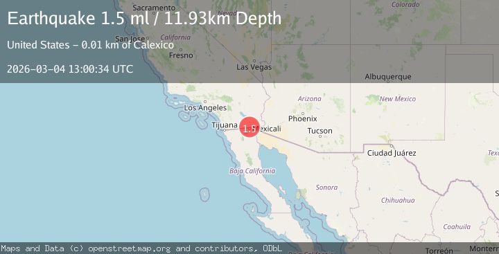
Earthquake 6 km NE of Calexico, CA
Wed, 04 Mar 2026 13:00:34 GMT
Time1 hour ago
Location
32.7118, -115.4443
Depth
11.9 KM
Event Summary
A 1.5 magnitude earthquake struck on 6 km NE of Calexico, CA, at Wed, 04 Mar 2026 13:00:34 GMT. Depth: 11.9300003051758km. Reviewed by USGS seismologists, this minor quake occurred at a magnitude type of ml.
Magnitude
1.5
ml
Source
USGS
Intensity
-
Agency Reports
1 Sources| Source | Magnitude | Depth | Time |
|---|---|---|---|
| USGSPrimary | 1.5 | 12 km | 1 hour ago |
Earthquake Details
AutomaticEvent IDusgs_ci41409032
Tsunami PotentialNo
Magnitude Typeml
Nearest Places
- 0.5 km
- 0.7 km
- 0.8 km
- 1.3 km
- 1.6 km
Comments
Join the discussion about this event.
Latest Earthquakes
2.5Mag
Flores Region, Indonesia
Time1 hour ago
Depth78.07 km
SourceBMKG
2.4Mag
Sumbawa region, Indonesia
Time1 hour ago
Depth0.00 km
SourceVYT (Automatic)
2.6Mag
Minahassa Peninsula, Sulawesi
Time1 hour ago
Depth5.00 km
SourceBMKG
2.6Mag
Minahassa Peninsula, Sulawesi
Time1 hour ago
Depth77.06 km
SourceBMKG
1.6Mag
western Texas
Time1 hour ago
Depth0.00 km
SourceVYT (Automatic)
Nearby Earthquakes
1.6Mag
6 km NE of Calexico, CA
Time23 hours ago
Depth15.86 km
SourceUSGS (Automatic)
1.8Mag
6 km NE of Mexicali, B.C., MX
Time7 hours ago
Depth14.45 km
SourceUSGS (Automatic)
3.2Mag
California-Baja California border region
Time1 hour ago
Depth20.02 km
SourceVYT (Automatic)
1.8Mag
4 km ESE of Heber, CA
Time6 days ago
Depth11.29 km
SourceUSGS (Automatic)
2.2Mag
Mexicali-Calexico urban area, California
Time4 hours ago
Depth22.83 km
SourceVYT (Automatic)