Earthquake MORO GULF, MINDANAO, PHILIPPINES
Mon, 26 Jul 2010 16:37:03 GMT
Time15 years ago
Location
6.8400, 123.6300
Depth
608.0 KM
Event Summary
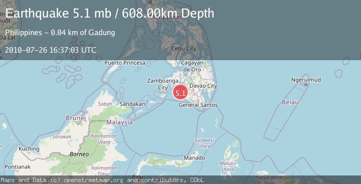
A 5.1 magnitude earthquake struck on MORO GULF, MINDANAO, PHILIPPINES, at Mon, 26 Jul 2010 16:37:03 GMT. Depth: 608km. Reviewed by EMSC seismologists, this moderate quake occurred at a magnitude type of mb.
Magnitude
5.1
mb
Source
EMSC
Intensity
-
Agency Reports
1 Sources| Source | Magnitude | Depth | Time |
|---|---|---|---|
| EMSCPrimary | 5.1 | 608 km | 15 years ago |
Earthquake Details
AutomaticEvent IDemsc_EMSC_20100726_0000044
Tsunami PotentialNo
Magnitude Typemb
Nearest Places
- 34.7 km
- 35.5 km
- 35.5 km
- 36.1 km
- 36.2 km
Comments
Join the discussion about this event.
Latest Earthquakes
2.2Mag
Timor Region
Time9 hours ago
Depth4.64 km
SourceBMKG
2.9Mag
Albania
Time9 hours ago
Depth7.20 km
SourceVYT (Automatic)
4.7Mag
Andreanof Islands, Aleutian Islands, Alaska
Time9 hours ago
Depth35.28 km
SourceVYT (Automatic)
3.9Mag
Tarapaca, Chile
Time9 hours ago
Depth114.50 km
SourceVYT (Automatic)
1.2Mag
2 km SSE of The Geysers, CA
Time9 hours ago
Depth1.32 km
SourceUSGS (Automatic)
Nearby Earthquakes
3.0Mag
MORO GULF, MINDANAO, PHILIPPINES
Time1 year ago
Depth1.00 km
SourcePIVS (Automatic)
5.2Mag
MORO GULF, MINDANAO, PHILIPPINES
Time15 years ago
Depth618.00 km
SourceEMSC (Automatic)
5.0Mag
MORO GULF, MINDANAO, PHILIPPINES
Time15 years ago
Depth642.00 km
SourceEMSC (Automatic)
5.1Mag
MORO GULF, MINDANAO, PHILIPPINES
Time15 years ago
Depth614.00 km
SourceEMSC (Automatic)
3.0Mag
MORO GULF, MINDANAO, PHILIPPINES
Time2 years ago
Depth1.00 km
SourcePIVS (Automatic)