Earthquake MORO GULF, MINDANAO, PHILIPPINES
Sun, 25 Jul 2010 08:18:29 GMT
Time15 years ago
Location
6.8700, 123.5700
Depth
618.0 KM
Event Summary
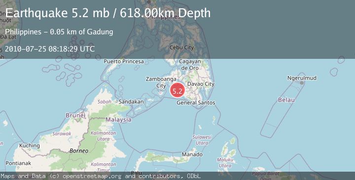
A 5.2 magnitude earthquake struck on MORO GULF, MINDANAO, PHILIPPINES, at Sun, 25 Jul 2010 08:18:29 GMT. Depth: 618km. Reviewed by EMSC seismologists, this moderate quake occurred at a magnitude type of mb.
Magnitude
5.2
mb
Source
EMSC
Intensity
-
Agency Reports
1 Sources| Source | Magnitude | Depth | Time |
|---|---|---|---|
| EMSCPrimary | 5.2 | 618 km | 15 years ago |
Earthquake Details
AutomaticEvent IDemsc_EMSC_20100725_0000021
Tsunami PotentialNo
Magnitude Typemb
Nearest Places
- 41.6 km
- 42.0 km
- 42.5 km
- 42.9 km
- 43.0 km
Comments
Join the discussion about this event.
Latest Earthquakes
1.9Mag
10 km ENE of Pāhala, Hawaii
Time14 hours ago
Depth32.05 km
SourceUSGS (Automatic)
1.1Mag
1 km WNW of Glendale, CA
Time14 hours ago
Depth3.78 km
SourceUSGS (Automatic)
2.4Mag
ISLAND OF HAWAII, HAWAII
Time14 hours ago
Depth32.00 km
SourceHV (Automatic)
2.1Mag
western Texas
Time14 hours ago
Depth0.12 km
SourceVYT (Automatic)
2.6Mag
SERAM, INDONESIA
Time14 hours ago
Depth12.00 km
SourceBMKG (Automatic)
Nearby Earthquakes
5.1Mag
MORO GULF, MINDANAO, PHILIPPINES
Time15 years ago
Depth608.00 km
SourceEMSC (Automatic)
3.0Mag
MORO GULF, MINDANAO, PHILIPPINES
Time1 year ago
Depth1.00 km
SourcePIVS (Automatic)
5.1Mag
MORO GULF, MINDANAO, PHILIPPINES
Time15 years ago
Depth614.00 km
SourceEMSC (Automatic)
3.2Mag
MORO GULF, MINDANAO, PHILIPPINES
Time0 months ago
Depth22.70 km
SourceNEIC (Automatic)
5.0Mag
MORO GULF, MINDANAO, PHILIPPINES
Time15 years ago
Depth642.00 km
SourceEMSC (Automatic)