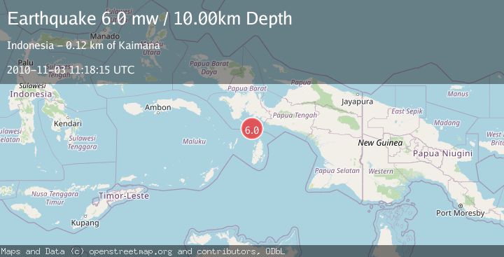
Earthquake NEAR S COAST OF PAPUA, INDONESIA
Wed, 03 Nov 2010 11:18:15 GMT
Time15 years ago
Location
-4.6700, 134.0800
Depth
10.0 KM
Event Summary
A 6.0 magnitude earthquake struck on NEAR S COAST OF PAPUA, INDONESIA, at Wed, 03 Nov 2010 11:18:15 GMT. Depth: 10km. Reviewed by EMSC seismologists, this strong quake occurred at a magnitude type of mw.
Magnitude
6.0
mw
Source
EMSC
Intensity
-
Agency Reports
1 Sources| Source | Magnitude | Depth | Time |
|---|---|---|---|
| EMSCPrimary | 6.0 | 10 km | 15 years ago |
Earthquake Details
AutomaticEvent IDemsc_EMSC_20101103_0000053
Tsunami PotentialNo
Magnitude Typemw
Nearest Places
- Aru Basin37.8 km
- Tanjung Watukebo69.6 km
- Tanjung Nambima73.4 km
- Pulau Tumbutumbu74.3 km
- Pulau Dramai75.0 km
Comments
Join the discussion about this event.
Latest Earthquakes
2.5Mag
Tarapaca, Chile
Time59 seconds ago
Depth112.55 km
SourceVYT (Automatic)
2.2Mag
Tarapaca, Chile
Time6 minutes ago
Depth111.94 km
SourceVYT (Automatic)
1.9Mag
Central Alaska
Time7 minutes ago
Depth32.10 km
SourceVYT (Automatic)
3.4Mag
HAWAII REGION, HAWAII
Time7 minutes ago
Depth4.70 km
SourceHV (Automatic)
1.9Mag
STRAIT OF GIBRALTAR
Time11 minutes ago
Depth0.00 km
SourceIGN (Automatic)
Nearby Earthquakes
5.4Mag
NEAR S COAST OF PAPUA, INDONESIA
Time16 years ago
Depth35.00 km
SourceEMSC (Automatic)
5.6Mag
NEAR S COAST OF PAPUA, INDONESIA
Time14 years ago
Depth5.00 km
SourceEMSC (Automatic)
5.1Mag
NEAR S COAST OF PAPUA, INDONESIA
Time2 years ago
Depth10.00 km
SourceEMSC (Automatic)
5.1Mag
NEAR S COAST OF PAPUA, INDONESIA
Time5 years ago
Depth10.00 km
SourceEMSC (Automatic)
4.8Mag
Papua region, Indonesia
Time1 week ago
Depth10.00 km
SourceVYT (Automatic)