Earthquake NIAS REGION, INDONESIA
Sun, 20 Feb 2011 14:32:23 GMT
Time15 years ago
Location
1.3600, 97.1200
Depth
27.0 KM
Event Summary
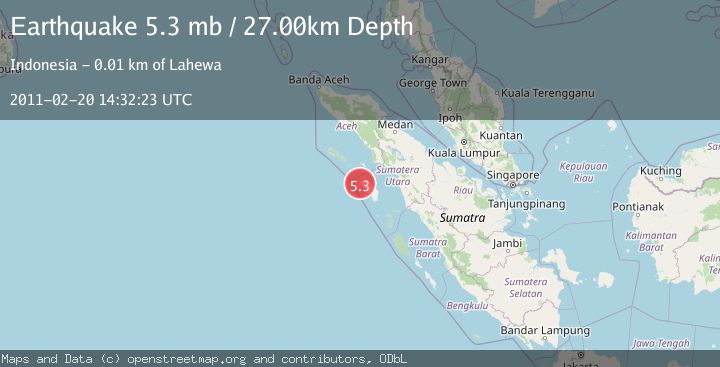
A 5.3 magnitude earthquake struck on NIAS REGION, INDONESIA, at Sun, 20 Feb 2011 14:32:23 GMT. Depth: 27km. Reviewed by EMSC seismologists, this moderate quake occurred at a magnitude type of mb.
Magnitude
5.3
mb
Source
EMSC
Intensity
-
Agency Reports
1 Sources| Source | Magnitude | Depth | Time |
|---|---|---|---|
| EMSCPrimary | 5.3 | 27 km | 15 years ago |
Earthquake Details
AutomaticEvent IDemsc_EMSC_20110220_0000025
Tsunami PotentialNo
Magnitude Typemb
Nearest Places
- Pulau Mausi1.7 km
- Desa Marafala3.8 km
- Tanjung Lasambu4.7 km
- Desa Hilihati5.2 km
- Hiligeo5.2 km
Comments
Join the discussion about this event.
Latest Earthquakes
3.3Mag
BOSNIA AND HERZEGOVINA
Time5 minutes ago
Depth10.00 km
SourceRHMS (Automatic)
2.2Mag
PORTUGAL
Time11 minutes ago
Depth12.00 km
SourceIPMA (Automatic)
4.2Mag
Fox Islands, Aleutian Islands, Alaska
Time12 minutes ago
Depth0.00 km
SourceVYT (Automatic)
1.8Mag
Sweden
Time12 minutes ago
Depth0.00 km
SourceVYT (Automatic)
2.0Mag
Bali Region, Indonesia
Time13 minutes ago
Depth73.97 km
SourceBMKG
Nearby Earthquakes
5.0Mag
NIAS REGION, INDONESIA
Time18 years ago
Depth18.00 km
SourceEMSC (Automatic)
5.1Mag
NIAS REGION, INDONESIA
Time20 years ago
Depth53.00 km
SourceEMSC (Automatic)
5.0Mag
NIAS REGION, INDONESIA
Time12 years ago
Depth30.00 km
SourceEMSC (Automatic)
5.0Mag
NIAS REGION, INDONESIA
Time15 years ago
Depth40.00 km
SourceEMSC (Automatic)
5.2Mag
NIAS REGION, INDONESIA
Time20 years ago
Depth10.00 km
SourceEMSC (Automatic)