Earthquake SANTA CRUZ ISLANDS REGION
Sat, 26 Feb 2011 02:10:24 GMT
Time15 years ago
Location
-10.6200, 164.9300
Depth
49.0 KM
Event Summary
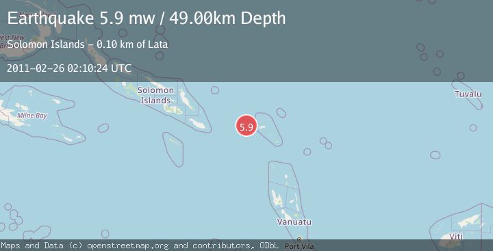
A 5.9 magnitude earthquake struck on SANTA CRUZ ISLANDS REGION, at Sat, 26 Feb 2011 02:10:24 GMT. Depth: 49km. Reviewed by EMSC seismologists, this moderate quake occurred at a magnitude type of mw.
Magnitude
5.9
mw
Source
EMSC
Intensity
-
Agency Reports
1 Sources| Source | Magnitude | Depth | Time |
|---|---|---|---|
| EMSCPrimary | 5.9 | 49 km | 15 years ago |
Earthquake Details
AutomaticEvent IDemsc_EMSC_20110226_0000005
Tsunami PotentialNo
Magnitude Typemw
Nearest Places
- 63.2 km
- 86.1 km
- 89.2 km
- 1Bema90.0 km
- 90.5 km
Comments
Join the discussion about this event.
Latest Earthquakes
1.1Mag
4 km W of Lake Henshaw, CA
Time6 minutes ago
Depth11.92 km
SourceUSGS (Automatic)
2.4Mag
Northern Territory, Australia
Time6 minutes ago
Depth444.34 km
SourceVYT (Automatic)
3.2Mag
Northern Molucca Sea
Time6 minutes ago
Depth35.14 km
SourceBMKG
1.3Mag
western Texas
Time8 minutes ago
Depth12.33 km
SourceVYT (Automatic)
4.1Mag
Banda Sea
Time8 minutes ago
Depth418.33 km
SourceVYT (Automatic)
Nearby Earthquakes
5.1Mag
SANTA CRUZ ISLANDS REGION
Time18 years ago
Depth100.00 km
SourceEMSC (Automatic)
6.1Mag
SANTA CRUZ ISLANDS REGION
Time13 years ago
Depth10.00 km
SourceEMSC (Automatic)
5.8Mag
SANTA CRUZ ISLANDS REGION
Time9 years ago
Depth50.00 km
SourceEMSC (Automatic)
5.1Mag
SANTA CRUZ ISLANDS REGION
Time13 years ago
Depth20.00 km
SourceEMSC (Automatic)
5.0Mag
SANTA CRUZ ISLANDS REGION
Time13 years ago
Depth10.00 km
SourceEMSC (Automatic)