Earthquake SANTA CRUZ ISLANDS REGION
Wed, 06 Feb 2013 06:53:20 GMT
Time13 years ago
Location
-10.6300, 164.9600
Depth
10.0 KM
Event Summary
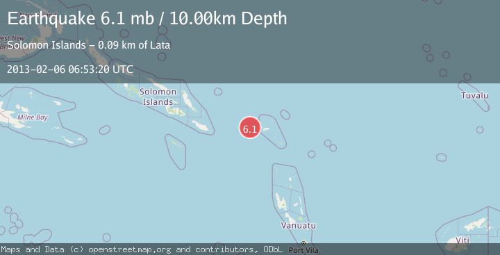
A 6.1 magnitude earthquake struck on SANTA CRUZ ISLANDS REGION, at Wed, 06 Feb 2013 06:53:20 GMT. Depth: 10km. Reviewed by EMSC seismologists, this strong quake occurred at a magnitude type of mb.
Magnitude
6.1
mb
Source
EMSC
Intensity
-
Agency Reports
1 Sources| Source | Magnitude | Depth | Time |
|---|---|---|---|
| EMSCPrimary | 6.1 | 10 km | 13 years ago |
Earthquake Details
AutomaticEvent IDemsc_EMSC_20130206_0000059
Tsunami PotentialNo
Magnitude Typemb
Nearest Places
- 64.9 km
- 82.6 km
- 85.7 km
- 2Bema86.7 km
- 87.1 km
Comments
Join the discussion about this event.
Latest Earthquakes
3.5Mag
offshore Coquimbo, Chile
Time3 minutes ago
Depth117.07 km
SourceVYT (Automatic)
0.6Mag
4 km W of Lake Henshaw, CA
Time18 minutes ago
Depth12.17 km
SourceUSGS (Automatic)
1.6Mag
28 km SE of Point Possession, Alaska
Time23 minutes ago
Depth42.70 km
SourceUSGS (Automatic)
3.1Mag
southern Sumatra, Indonesia
Time24 minutes ago
Depth0.00 km
SourceVYT (Automatic)
1.5Mag
western Texas
Time25 minutes ago
Depth3.54 km
SourceVYT (Automatic)
Nearby Earthquakes
5.1Mag
SANTA CRUZ ISLANDS REGION
Time13 years ago
Depth20.00 km
SourceEMSC (Automatic)
5.9Mag
SANTA CRUZ ISLANDS REGION
Time15 years ago
Depth49.00 km
SourceEMSC (Automatic)
5.0Mag
SANTA CRUZ ISLANDS REGION
Time13 years ago
Depth10.00 km
SourceEMSC (Automatic)
5.1Mag
SANTA CRUZ ISLANDS REGION
Time18 years ago
Depth100.00 km
SourceEMSC (Automatic)
5.4Mag
SANTA CRUZ ISLANDS
Time3 years ago
Depth40.00 km
SourceEMSC (Automatic)