Earthquake KEPULAUAN BABAR, INDONESIA
Sat, 12 Mar 2011 08:45:29 GMT
Time14 years ago
Location
-7.3500, 129.1800
Depth
160.0 KM
Event Summary
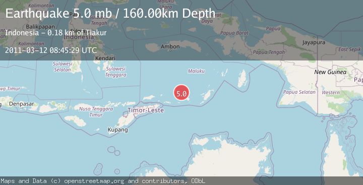
A 5.0 magnitude earthquake struck on KEPULAUAN BABAR, INDONESIA, at Sat, 12 Mar 2011 08:45:29 GMT. Depth: 160km. Reviewed by EMSC seismologists, this moderate quake occurred at a magnitude type of mb.
Magnitude
5.0
mb
Source
EMSC
Intensity
-
Agency Reports
1 Sources| Source | Magnitude | Depth | Time |
|---|---|---|---|
| EMSCPrimary | 5.0 | 160 km | 14 years ago |
Earthquake Details
AutomaticEvent IDemsc_EMSC_20110312_0000075
Tsunami PotentialNo
Magnitude Typemb
Nearest Places
- 40.3 km
- 40.9 km
- 40.9 km
- 41.2 km
- 42.3 km
Comments
Join the discussion about this event.
Latest Earthquakes
2.5Mag
Sulawesi, Indonesia
Time23 hours ago
Depth0.00 km
SourceVYT (Automatic)
1.9Mag
near the coast of Antofagasta, Chile
Time23 hours ago
Depth0.00 km
SourceVYT (Automatic)
2.0Mag
Southern Alaska
Time23 hours ago
Depth15.87 km
SourceVYT (Automatic)
2.1Mag
Flores Sea
Time23 hours ago
Depth0.00 km
SourceVYT (Automatic)
1.8Mag
52 km WNW of Toyah, Texas
Time23 hours ago
Depth5.81 km
SourceUSGS (Automatic)
Nearby Earthquakes
3.7Mag
KEPULAUAN BABAR, INDONESIA
Time1 month ago
Depth169.00 km
SourceBMKG (Automatic)
5.0Mag
KEPULAUAN BABAR, INDONESIA
Time6 years ago
Depth136.00 km
SourceEMSC (Automatic)
5.1Mag
KEPULAUAN BABAR, INDONESIA
Time18 years ago
Depth40.00 km
SourceEMSC (Automatic)
5.1Mag
KEPULAUAN BABAR, INDONESIA
Time1 year ago
Depth131.00 km
SourceEMSC (Automatic)
5.0Mag
KEPULAUAN BABAR, INDONESIA
Time1 year ago
Depth125.00 km
SourceEMSC (Automatic)