Earthquake 52 km WNW of Toyah, Texas
Sat, 21 Feb 2026 22:38:24 GMT
Time1 hour ago
Location
31.5700, -104.2630
Depth
5.8 KM
Event Summary
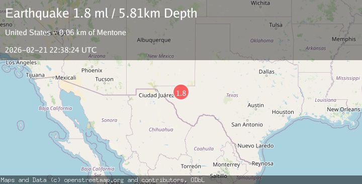
A 1.8 magnitude earthquake struck on 52 km WNW of Toyah, Texas, at Sat, 21 Feb 2026 22:38:24 GMT. Depth: 5.8137km. Reviewed by USGS seismologists, this minor quake occurred at a magnitude type of ml.
Magnitude
1.8
ml
Source
USGS
Intensity
-
Agency Reports
1 Sources| Source | Magnitude | Depth | Time |
|---|---|---|---|
| USGSPrimary | 1.8 | 6 km | 1 hour ago |
Earthquake Details
AutomaticEvent IDusgs_tx2026drjblr
Tsunami PotentialNo
Magnitude Typeml
Nearest Places
- 1.0 km
- 2.8 km
- 3.7 km
- 3.9 km
- 8.9 km
Comments
Join the discussion about this event.
Latest Earthquakes
2.5Mag
Sulawesi, Indonesia
Time1 hour ago
Depth0.00 km
SourceVYT (Automatic)
1.9Mag
near the coast of Antofagasta, Chile
Time1 hour ago
Depth0.00 km
SourceVYT (Automatic)
2.0Mag
Southern Alaska
Time1 hour ago
Depth15.87 km
SourceVYT (Automatic)
2.1Mag
Flores Sea
Time1 hour ago
Depth0.00 km
SourceVYT (Automatic)
2.0Mag
Sumbawa Region, Indonesia
Time1 hour ago
Depth20.75 km
SourceBMKG
Nearby Earthquakes
1.1Mag
55 km WNW of Toyah, Texas
Time2 weeks ago
Depth0.00 km
SourceUSGS (Automatic)
3.0Mag
WESTERN TEXAS
Time4 years ago
Depth5.00 km
SourceNEIC (Automatic)
1.8Mag
western Texas
Time1 day ago
Depth0.00 km
SourceVYT (Automatic)
3.0Mag
WESTERN TEXAS
Time5 years ago
Depth5.00 km
SourceNEIC (Automatic)
2.1Mag
western Texas
Time4 days ago
Depth17.46 km
SourceVYT (Automatic)