Earthquake MORO GULF, MINDANAO, PHILIPPINES
Fri, 24 Jun 2011 17:23:43 GMT
Time14 years ago
Location
6.7100, 123.6300
Depth
597.0 KM
Event Summary
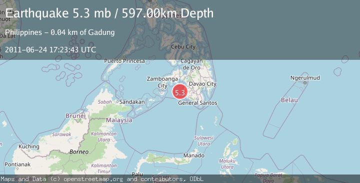
A 5.3 magnitude earthquake struck on MORO GULF, MINDANAO, PHILIPPINES, at Fri, 24 Jun 2011 17:23:43 GMT. Depth: 597km. Reviewed by EMSC seismologists, this moderate quake occurred at a magnitude type of mb.
Magnitude
5.3
mb
Source
EMSC
Intensity
-
Agency Reports
1 Sources| Source | Magnitude | Depth | Time |
|---|---|---|---|
| EMSCPrimary | 5.3 | 597 km | 14 years ago |
Earthquake Details
AutomaticEvent IDemsc_EMSC_20110624_0000063
Tsunami PotentialNo
Magnitude Typemb
Nearest Places
- 35.2 km
- 36.6 km
- 37.4 km
- 38.3 km
- 38.3 km
Comments
Join the discussion about this event.
Latest Earthquakes
1.6Mag
Kenai Peninsula, Alaska
Time19 hours ago
Depth39.79 km
SourceVYT (Automatic)
1.5Mag
Southern Alaska
Time19 hours ago
Depth10.00 km
SourceVYT (Automatic)
2.3Mag
Fox Islands, Aleutian Islands, Alaska
Time19 hours ago
Depth12.57 km
SourceVYT (Automatic)
1.2Mag
12 km WNW of Progreso, B.C., MX
Time19 hours ago
Depth8.62 km
SourceUSGS (Automatic)
2.0Mag
Tarapaca, Chile
Time19 hours ago
Depth2.32 km
SourceVYT (Automatic)
Nearby Earthquakes
5.1Mag
MORO GULF, MINDANAO, PHILIPPINES
Time15 years ago
Depth606.00 km
SourceEMSC (Automatic)
4.8Mag
Mindanao, Philippines
Time3 weeks ago
Depth565.17 km
SourceBMKG (Automatic)
3.0Mag
MORO GULF, MINDANAO, PHILIPPINES
Time1 year ago
Depth28.00 km
SourcePIVS (Automatic)
4.1Mag
MORO GULF, MINDANAO, PHILIPPINES
Time1 month ago
Depth19.00 km
SourcePIVS (Automatic)
5.0Mag
MORO GULF, MINDANAO, PHILIPPINES
Time15 years ago
Depth642.00 km
SourceEMSC (Automatic)