Earthquake Mindanao, Philippines
Sat, 31 Jan 2026 18:34:45 GMT
Time10 hours ago
Location
6.7170, 123.6175
Depth
565.2 KM
Event Summary
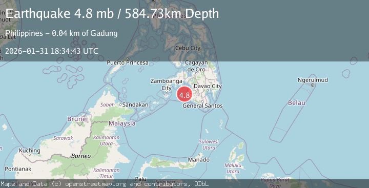
A 4.2 magnitude earthquake struck on Mindanao, Philippines, at Sat, 31 Jan 2026 18:34:45 GMT. Depth: 565.168579km. Reviewed by BMKG seismologists, this light quake occurred at a magnitude type of M.
Magnitude
4.2
M
Source
BMKG
Intensity
-
Agency Reports
1 Sources| Source | Magnitude | Depth | Time |
|---|---|---|---|
| BMKGPrimary | 4.2 | 565 km | 10 hours ago |
Earthquake Details
AutomaticEvent IDbmg2026cefw
Tsunami PotentialNo
Magnitude TypeM
Nearest Places
- Huidobro Reef36.4 km
- Ipil Point37.7 km
- Bamban Point38.5 km
- Bral39.5 km
- Linao Point39.5 km
Comments
Join the discussion about this event.
Latest Earthquakes
1.9Mag
17 km E of Pāhala, Hawaii
Time10 hours ago
Depth26.31 km
SourceUSGS (Automatic)
3.4Mag
Savu Sea
Time10 hours ago
Depth0.70 km
SourceBMKG (Automatic)
3.9Mag
SALTA, ARGENTINA
Time10 hours ago
Depth239.40 km
SourceCSN (Automatic)
3.4Mag
Java, Indonesia
Time10 hours ago
Depth10.00 km
SourceBMKG (Automatic)
1.1Mag
WESTERN TURKEY
Time10 hours ago
Depth7.40 km
SourceAFAD (Automatic)
Nearby Earthquakes
3.1Mag
MORO GULF, MINDANAO, PHILIPPINES
Time1 week ago
Depth19.00 km
SourcePIVS (Automatic)
5.1Mag
MORO GULF, MINDANAO, PHILIPPINES
Time3 days ago
Depth7.00 km
SourcePIVS (Automatic)
5.1Mag
MORO GULF, MINDANAO, PHILIPPINES
Time3 days ago
Depth1.00 km
SourcePIVS (Automatic)
3.7Mag
MORO GULF, MINDANAO, PHILIPPINES
Time3 days ago
Depth2.00 km
SourcePIVS (Automatic)
4.4Mag
MORO GULF, MINDANAO, PHILIPPINES
Time3 days ago
Depth4.00 km
SourcePIVS (Automatic)