Earthquake KERMADEC ISLANDS REGION
Wed, 06 Jul 2011 19:03:22 GMT
Time14 years ago
Location
-29.2600, -176.2800
Depth
40.0 KM
Event Summary
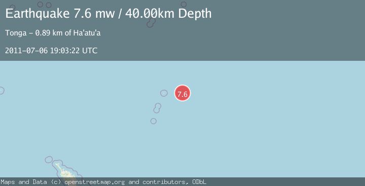
A 7.6 magnitude earthquake struck on KERMADEC ISLANDS REGION, at Wed, 06 Jul 2011 19:03:22 GMT. Depth: 40km. Reviewed by EMSC seismologists, this major quake occurred at a magnitude type of mw.
Magnitude
7.6
mw
Source
EMSC
Intensity
-
Agency Reports
1 Sources| Source | Magnitude | Depth | Time |
|---|---|---|---|
| EMSCPrimary | 7.6 | 40 km | 14 years ago |
Earthquake Details
AutomaticEvent IDemsc_EMSC_20110706_0000045
Tsunami PotentialNo
Magnitude Typemw
Nearest Places
- 107.8 km
- 149.1 km
- 149.1 km
- 149.1 km
- 150.8 km
Comments
Join the discussion about this event.
Latest Earthquakes
2.1Mag
Flores Sea
Time7 minutes ago
Depth0.00 km
SourceVYT (Automatic)
1.8Mag
52 km WNW of Toyah, Texas
Time7 minutes ago
Depth5.81 km
SourceUSGS (Automatic)
2.0Mag
Sumbawa Region, Indonesia
Time9 minutes ago
Depth20.75 km
SourceBMKG
2.5Mag
West Papua Region, Indonesia
Time11 minutes ago
Depth10.00 km
SourceBMKG
1.2Mag
Fox Islands, Aleutian Islands, Alaska
Time20 minutes ago
Depth2.69 km
SourceVYT (Automatic)
Nearby Earthquakes
5.7Mag
KERMADEC ISLANDS REGION
Time14 years ago
Depth40.00 km
SourceEMSC (Automatic)
5.0Mag
KERMADEC ISLANDS REGION
Time14 years ago
Depth32.00 km
SourceEMSC (Automatic)
5.3Mag
KERMADEC ISLANDS REGION
Time14 years ago
Depth60.00 km
SourceEMSC (Automatic)
5.1Mag
KERMADEC ISLANDS REGION
Time4 years ago
Depth10.00 km
SourceEMSC (Automatic)
5.0Mag
KERMADEC ISLANDS REGION
Time14 years ago
Depth40.00 km
SourceEMSC (Automatic)