Earthquake SOUTH OF KERMADEC ISLANDS
Thu, 07 Jul 2011 14:53:53 GMT
Time14 years ago
Location
-33.7800, -178.7600
Depth
41.0 KM
Event Summary
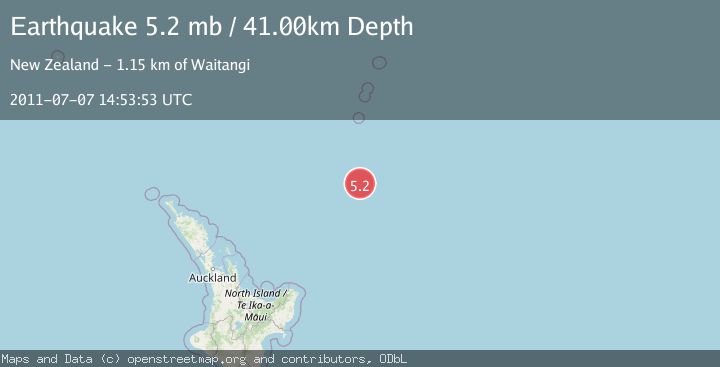
A 5.2 magnitude earthquake struck on SOUTH OF KERMADEC ISLANDS, at Thu, 07 Jul 2011 14:53:53 GMT. Depth: 41km. Reviewed by EMSC seismologists, this moderate quake occurred at a magnitude type of mb.
Magnitude
5.2
mb
Source
EMSC
Intensity
-
Agency Reports
1 Sources| Source | Magnitude | Depth | Time |
|---|---|---|---|
| EMSCPrimary | 5.2 | 41 km | 14 years ago |
Earthquake Details
AutomaticEvent IDemsc_EMSC_20110707_0000037
Tsunami PotentialNo
Magnitude Typemb
Nearest Places
- Kuiwai Seamount127.6 km
- Ngātoroirangi Seamount133.5 km
- Haungaroa Seamount152.4 km
- Star of Bengal Bank154.9 km
- Speight Knoll173.1 km
Comments
Join the discussion about this event.
Latest Earthquakes
3.6Mag
southern Sumatra, Indonesia
Time4 minutes ago
Depth13.31 km
SourceVYT (Automatic)
2.7Mag
Fox Islands, Aleutian Islands, Alaska
Time5 minutes ago
Depth0.24 km
SourceVYT (Automatic)
1.8Mag
SWITZERLAND
Time7 minutes ago
Depth7.90 km
SourceETHZ (Automatic)
2.2Mag
Sweden
Time12 minutes ago
Depth0.00 km
SourceVYT (Automatic)
2.2Mag
Alaska Peninsula
Time14 minutes ago
Depth1.71 km
SourceVYT (Automatic)
Nearby Earthquakes
5.0Mag
SOUTH OF KERMADEC ISLANDS
Time10 years ago
Depth40.00 km
SourceEMSC (Automatic)
5.0Mag
SOUTH OF KERMADEC ISLANDS
Time6 years ago
Depth57.00 km
SourceEMSC (Automatic)
5.1Mag
SOUTH OF KERMADEC ISLANDS
Time1 year ago
Depth10.00 km
SourceEMSC (Automatic)
5.0Mag
SOUTH OF KERMADEC ISLANDS
Time6 years ago
Depth10.00 km
SourceEMSC (Automatic)
5.1Mag
SOUTH OF KERMADEC ISLANDS
Time4 months ago
Depth10.00 km
SourceEMSC (Automatic)