Earthquake SOUTH OF FIJI ISLANDS
Tue, 19 Jul 2011 07:15:54 GMT
Time14 years ago
Location
-23.6600, 179.1100
Depth
547.0 KM
Event Summary
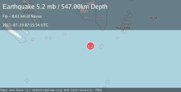
A 5.2 magnitude earthquake struck on SOUTH OF FIJI ISLANDS, at Tue, 19 Jul 2011 07:15:54 GMT. Depth: 547km. Reviewed by EMSC seismologists, this moderate quake occurred at a magnitude type of mb.
Magnitude
5.2
mb
Source
EMSC
Intensity
-
Agency Reports
1 Sources| Source | Magnitude | Depth | Time |
|---|---|---|---|
| EMSCPrimary | 5.2 | 547 km | 14 years ago |
Earthquake Details
AutomaticEvent IDemsc_EMSC_20110719_0000012
Tsunami PotentialNo
Magnitude Typemb
Nearest Places
- South Minerva Reef182.7 km
- Herald Bight182.7 km
- Minerva Reefs193.3 km
- North Minerva Reef199.3 km
- Naicibaciba Rock359.3 km
Comments
Join the discussion about this event.
Latest Earthquakes
0.6Mag
12 km SE of Anza, CA
Time4 minutes ago
Depth6.49 km
SourceUSGS (Automatic)
2.6Mag
western Texas
Time6 minutes ago
Depth12.70 km
SourceVYT (Automatic)
2.0Mag
Sumbawa Region, Indonesia
Time7 minutes ago
Depth21.49 km
SourceBMKG
1.0Mag
Southern Alaska
Time8 minutes ago
Depth1.34 km
SourceVYT (Automatic)
1.7Mag
Dead Sea region
Time9 minutes ago
Depth0.00 km
SourceVYT (Automatic)
Nearby Earthquakes
5.1Mag
SOUTH OF FIJI ISLANDS
Time1 year ago
Depth536.00 km
SourceEMSC (Automatic)
5.1Mag
SOUTH OF FIJI ISLANDS
Time8 years ago
Depth541.00 km
SourceEMSC (Automatic)
5.9Mag
SOUTH OF FIJI ISLANDS
Time5 years ago
Depth560.00 km
SourceEMSC (Automatic)
5.4Mag
SOUTH OF FIJI ISLANDS
Time9 years ago
Depth544.00 km
SourceEMSC (Automatic)
5.3Mag
SOUTH OF FIJI ISLANDS
Time9 years ago
Depth556.00 km
SourceEMSC (Automatic)