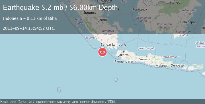
Earthquake SOUTHWEST OF SUMATRA, INDONESIA
Wed, 14 Sep 2011 15:54:52 GMT
Time14 years ago
Location
-6.2500, 103.5800
Depth
56.0 KM
Event Summary
A 5.2 magnitude earthquake struck on SOUTHWEST OF SUMATRA, INDONESIA, at Wed, 14 Sep 2011 15:54:52 GMT. Depth: 56km. Reviewed by EMSC seismologists, this moderate quake occurred at a magnitude type of mb.
Magnitude
5.2
mb
Source
EMSC
Intensity
-
Agency Reports
1 Sources| Source | Magnitude | Depth | Time |
|---|---|---|---|
| EMSCPrimary | 5.2 | 56 km | 14 years ago |
Earthquake Details
AutomaticEvent IDemsc_EMSC_20110914_0000046
Tsunami PotentialNo
Magnitude Typemb
Nearest Places
- Enggano Basin33.6 km
- Pulau Betuah103.4 km
- Tanjung Cuku Balimbing103.5 km
- Cukuh Batuberagam105.6 km
- Ujung Siging106.3 km
Comments
Join the discussion about this event.
Latest Earthquakes
1.7Mag
Southeastern Alaska
Time5 hours ago
Depth19.29 km
SourceVYT (Automatic)
5.7Mag
Minahasa, Sulawesi, Indonesia
Time5 hours ago
Depth31.98 km
SourceVYT (Automatic)
1.4Mag
Southern Alaska
Time5 hours ago
Depth24.41 km
SourceVYT (Automatic)
1.9Mag
Southeastern Alaska
Time6 hours ago
Depth0.00 km
SourceVYT (Automatic)
1.2Mag
Southern Alaska
Time6 hours ago
Depth77.51 km
SourceVYT (Automatic)
Nearby Earthquakes
4.0Mag
SOUTHWEST OF SUMATRA, INDONESIA
Time5 months ago
Depth6.00 km
SourceBMKG (Automatic)
3.0Mag
SOUTHWEST OF SUMATRA, INDONESIA
Time2 months ago
Depth10.00 km
SourceBMKG (Automatic)
5.0Mag
SOUTHWEST OF SUMATRA, INDONESIA
Time18 years ago
Depth35.00 km
SourceNEIC (Automatic)
5.1Mag
SOUTHWEST OF SUMATRA, INDONESIA
Time13 years ago
Depth10.00 km
SourceEMSC (Automatic)
4.0Mag
SOUTHWEST OF SUMATRA, INDONESIA
Time3 years ago
Depth10.00 km
SourceDJA (Automatic)