Earthquake MOLUCCA SEA
Sun, 02 Oct 2011 14:57:04 GMT
Time14 years ago
Location
1.4000, 126.3300
Depth
80.0 KM
Event Summary
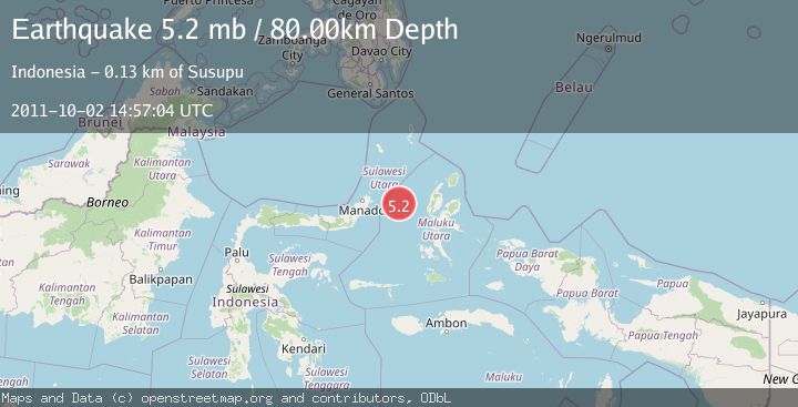
A 5.2 magnitude earthquake struck on MOLUCCA SEA, at Sun, 02 Oct 2011 14:57:04 GMT. Depth: 80km. Reviewed by EMSC seismologists, this moderate quake occurred at a magnitude type of mb.
Magnitude
5.2
mb
Source
EMSC
Intensity
-
Agency Reports
1 Sources| Source | Magnitude | Depth | Time |
|---|---|---|---|
| EMSCPrimary | 5.2 | 80 km | 14 years ago |
Earthquake Details
AutomaticEvent IDemsc_EMSC_20111002_0000027
Tsunami PotentialNo
Magnitude Typemb
Nearest Places
- Kelurahan Perum Bersatu8.7 km
- Kelurahan Mayau8.8 km
- Pasirputih9.2 km
- Pulau Mayu10.4 km
- Kecamatan Pulau Batang Dua10.5 km
Comments
Join the discussion about this event.
Latest Earthquakes
3.0Mag
Tarapaca, Chile
Time20 hours ago
Depth140.38 km
SourceVYT (Automatic)
1.4Mag
Kenai Peninsula, Alaska
Time20 hours ago
Depth0.00 km
SourceVYT (Automatic)
2.8Mag
Northern Molucca Sea
Time20 hours ago
Depth17.04 km
SourceBMKG
2.4Mag
Fox Islands, Aleutian Islands, Alaska
Time20 hours ago
Depth1.22 km
SourceVYT (Automatic)
2.8Mag
Flores region, Indonesia
Time20 hours ago
Depth190.67 km
SourceVYT (Automatic)
Nearby Earthquakes
5.6Mag
MOLUCCA SEA
Time1 month ago
Depth48.10 km
SourceEMSC (Automatic)
3.0Mag
MOLUCCA SEA
Time1 month ago
Depth35.00 km
SourceBMKG (Automatic)
3.0Mag
MOLUCCA SEA
Time2 years ago
Depth45.00 km
SourceBMKG (Automatic)
5.1Mag
MOLUCCA SEA
Time2 years ago
Depth30.00 km
SourceEMSC (Automatic)
5.0Mag
MOLUCCA SEA
Time12 years ago
Depth47.00 km
SourceEMSC (Automatic)