Earthquake SOUTH OF KERMADEC ISLANDS
Fri, 07 Oct 2011 12:14:36 GMT
Time14 years ago
Location
-32.7800, -177.7100
Depth
45.0 KM
Event Summary
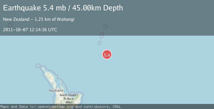
A 5.4 magnitude earthquake struck on SOUTH OF KERMADEC ISLANDS, at Fri, 07 Oct 2011 12:14:36 GMT. Depth: 45km. Reviewed by EMSC seismologists, this moderate quake occurred at a magnitude type of mb.
Magnitude
5.4
mb
Source
EMSC
Intensity
-
Agency Reports
1 Sources| Source | Magnitude | Depth | Time |
|---|---|---|---|
| EMSCPrimary | 5.4 | 45 km | 14 years ago |
Earthquake Details
AutomaticEvent IDemsc_EMSC_20111007_0000035
Tsunami PotentialNo
Magnitude Typemb
Nearest Places
- 94.9 km
- 122.5 km
- 129.3 km
- 136.3 km
- 157.7 km
Comments
Join the discussion about this event.
Latest Earthquakes
1.5Mag
17 km S of Hawthorne, Nevada
Time4 minutes ago
Depth4.19 km
SourceUSGS (Automatic)
5.1Mag
Maule, Chile
Time4 minutes ago
Depth140.14 km
SourceVYT (Automatic)
2.5Mag
3 km NE of Wildomar, CA
Time13 minutes ago
Depth14.38 km
SourceUSGS (Automatic)
1.6Mag
21 km E of Johannesburg, CA
Time14 minutes ago
Depth4.21 km
SourceUSGS (Automatic)
3.1Mag
San Juan, Argentina
Time15 minutes ago
Depth279.91 km
SourceVYT (Automatic)
Nearby Earthquakes
5.1Mag
SOUTH OF KERMADEC ISLANDS
Time1 month ago
Depth10.00 km
SourceEMSC (Automatic)
5.8Mag
SOUTH OF KERMADEC ISLANDS
Time10 years ago
Depth10.00 km
SourceEMSC (Automatic)
6.5Mag
SOUTH OF KERMADEC ISLANDS
Time12 years ago
Depth10.00 km
SourceEMSC (Automatic)
5.0Mag
SOUTH OF KERMADEC ISLANDS
Time1 year ago
Depth35.00 km
SourceEMSC (Automatic)
5.0Mag
SOUTH OF KERMADEC ISLANDS
Time2 months ago
Depth10.00 km
SourceEMSC (Automatic)