Earthquake MOLUCCA SEA
Mon, 14 Nov 2011 04:05:13 GMT
Time14 years ago
Location
-0.9100, 126.9500
Depth
30.0 KM
Event Summary
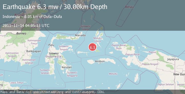
A 6.3 magnitude earthquake struck on MOLUCCA SEA, at Mon, 14 Nov 2011 04:05:13 GMT. Depth: 30km. Reviewed by EMSC seismologists, this strong quake occurred at a magnitude type of mw.
Magnitude
6.3
mw
Source
EMSC
Intensity
-
Agency Reports
1 Sources| Source | Magnitude | Depth | Time |
|---|---|---|---|
| EMSCPrimary | 6.3 | 30 km | 14 years ago |
Earthquake Details
AutomaticEvent IDemsc_EMSC_20111114_0000014
Tsunami PotentialNo
Magnitude Typemw
Nearest Places
- Batjan Basin24.4 km
- Pulau Gegoru29.9 km
- Ayiko Salomaaki31.3 km
- Tanjung Gegoru31.4 km
- Ake Salomaaki32.0 km
Comments
Join the discussion about this event.
Latest Earthquakes
2.6Mag
Antofagasta, Chile
Time4 minutes ago
Depth0.00 km
SourceVYT (Automatic)
2.8Mag
Fox Islands, Aleutian Islands, Alaska
Time7 minutes ago
Depth80.44 km
SourceVYT (Automatic)
0.9Mag
110 km S of McCarthy, Alaska
Time9 minutes ago
Depth18.50 km
SourceUSGS (Automatic)
3.0Mag
Central Alaska
Time9 minutes ago
Depth0.12 km
SourceVYT (Automatic)
2.5Mag
Minahassa Peninsula, Sulawesi
Time11 minutes ago
Depth4.95 km
SourceBMKG
Nearby Earthquakes
5.2Mag
MOLUCCA SEA
Time14 years ago
Depth53.00 km
SourceEMSC (Automatic)
5.6Mag
MOLUCCA SEA
Time14 years ago
Depth46.00 km
SourceEMSC (Automatic)
5.0Mag
MOLUCCA SEA
Time14 years ago
Depth47.00 km
SourceEMSC (Automatic)
5.1Mag
MOLUCCA SEA
Time14 years ago
Depth10.00 km
SourceGFZ (Automatic)
5.3Mag
KEPULAUAN SULA, INDONESIA
Time6 years ago
Depth30.00 km
SourceEMSC (Automatic)