Earthquake MOLUCCA SEA
Wed, 18 Jan 2012 01:19:37 GMT
Time14 years ago
Location
-0.9100, 126.9300
Depth
53.0 KM
Event Summary
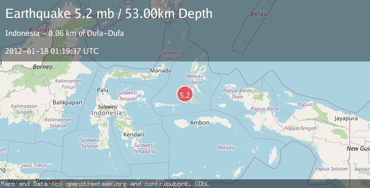
A 5.2 magnitude earthquake struck on MOLUCCA SEA, at Wed, 18 Jan 2012 01:19:37 GMT. Depth: 53km. Reviewed by EMSC seismologists, this moderate quake occurred at a magnitude type of mb.
Magnitude
5.2
mb
Source
EMSC
Intensity
-
Agency Reports
1 Sources| Source | Magnitude | Depth | Time |
|---|---|---|---|
| EMSCPrimary | 5.2 | 53 km | 14 years ago |
Earthquake Details
AutomaticEvent IDemsc_EMSC_20120118_0000002
Tsunami PotentialNo
Magnitude Typemb
Nearest Places
- Batjan Basin22.4 km
- Pulau Gegoru31.8 km
- Ayiko Salomaaki33.1 km
- Tanjung Gegoru33.4 km
- Ayiko Bobo33.8 km
Comments
Join the discussion about this event.
Latest Earthquakes
2.8Mag
Fox Islands, Aleutian Islands, Alaska
Time1 minute ago
Depth80.44 km
SourceVYT (Automatic)
0.9Mag
110 km S of McCarthy, Alaska
Time4 minutes ago
Depth18.50 km
SourceUSGS (Automatic)
3.0Mag
Central Alaska
Time4 minutes ago
Depth0.12 km
SourceVYT (Automatic)
2.5Mag
Minahassa Peninsula, Sulawesi
Time6 minutes ago
Depth4.95 km
SourceBMKG
2.9Mag
Minahasa, Sulawesi, Indonesia
Time6 minutes ago
Depth10.86 km
SourceVYT (Automatic)
Nearby Earthquakes
6.3Mag
MOLUCCA SEA
Time14 years ago
Depth30.00 km
SourceEMSC (Automatic)
5.6Mag
MOLUCCA SEA
Time14 years ago
Depth46.00 km
SourceEMSC (Automatic)
5.0Mag
MOLUCCA SEA
Time14 years ago
Depth47.00 km
SourceEMSC (Automatic)
5.1Mag
MOLUCCA SEA
Time14 years ago
Depth10.00 km
SourceGFZ (Automatic)
5.2Mag
MOLUCCA SEA
Time14 years ago
Depth46.00 km
SourceEMSC (Automatic)