Earthquake KERMADEC ISLANDS REGION
Sun, 04 Dec 2011 14:45:37 GMT
Time14 years ago
Location
-31.5800, -178.6900
Depth
100.0 KM
Event Summary
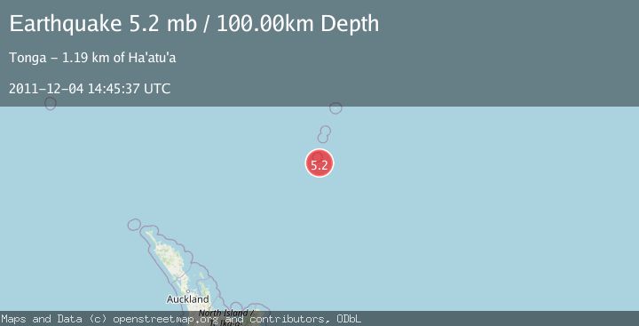
A 5.2 magnitude earthquake struck on KERMADEC ISLANDS REGION, at Sun, 04 Dec 2011 14:45:37 GMT. Depth: 100km. Reviewed by EMSC seismologists, this moderate quake occurred at a magnitude type of mb.
Magnitude
5.2
mb
Source
EMSC
Intensity
-
Agency Reports
1 Sources| Source | Magnitude | Depth | Time |
|---|---|---|---|
| EMSCPrimary | 5.2 | 100 km | 14 years ago |
Earthquake Details
AutomaticEvent IDemsc_EMSC_20111204_0000029
Tsunami PotentialNo
Magnitude Typemb
Nearest Places
- L'Esperance Rock25.7 km
- Havre Rock39.0 km
- Havre Seamount63.5 km
- Havre Trough77.3 km
- Star of Bengal Bank100.8 km
Comments
Join the discussion about this event.
Latest Earthquakes
2.1Mag
Kenai Peninsula, Alaska
Time2 minutes ago
Depth47.00 km
SourceVYT (Automatic)
2.0Mag
Antofagasta, Chile
Time8 minutes ago
Depth23.32 km
SourceVYT (Automatic)
2.8Mag
Queensland, Australia
Time10 minutes ago
Depth714.23 km
SourceVYT (Automatic)
1.1Mag
5 km S of Salcha, Alaska
Time14 minutes ago
Depth8.70 km
SourceUSGS (Automatic)
1.4Mag
CENTRAL TURKEY
Time19 minutes ago
Depth7.20 km
SourceAFAD (Automatic)
Nearby Earthquakes
5.1Mag
KERMADEC ISLANDS REGION
Time13 years ago
Depth117.00 km
SourceEMSC (Automatic)
5.1Mag
KERMADEC ISLANDS REGION
Time3 months ago
Depth115.00 km
SourceEMSC (Automatic)
5.1Mag
KERMADEC ISLANDS REGION
Time11 years ago
Depth10.00 km
SourceEMSC (Automatic)
5.0Mag
KERMADEC ISLANDS REGION
Time17 years ago
Depth142.00 km
SourceNEIC (Automatic)
5.0Mag
KERMADEC ISLANDS REGION
Time6 years ago
Depth45.00 km
SourceEMSC (Automatic)