Earthquake KERMADEC ISLANDS REGION
Mon, 19 May 2008 19:02:56 GMT
Time17 years ago
Location
-31.7100, -178.6000
Depth
142.0 KM
Event Summary
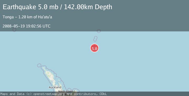
A 5.0 magnitude earthquake struck on KERMADEC ISLANDS REGION, at Mon, 19 May 2008 19:02:56 GMT. Depth: 142km. Reviewed by NEIC seismologists, this moderate quake occurred at a magnitude type of mb.
Magnitude
5.0
mb
Source
NEIC
Intensity
-
Agency Reports
1 Sources| Source | Magnitude | Depth | Time |
|---|---|---|---|
| NEICPrimary | 5.0 | 142 km | 17 years ago |
Earthquake Details
AutomaticEvent IDemsc_NEIC_20080519_0000067
Tsunami PotentialNo
Magnitude Typemb
Nearest Places
- L'Esperance Rock41.9 km
- Havre Rock55.1 km
- Havre Seamount80.3 km
- Havre Trough88.4 km
- Star of Bengal Bank91.6 km
Comments
Join the discussion about this event.
Latest Earthquakes
1.7Mag
British Columbia, Canada
Time5 minutes ago
Depth11.60 km
SourceVYT (Automatic)
2.1Mag
WESTERN TURKEY
Time9 minutes ago
Depth4.90 km
SourceKOERI (Automatic)
3.3Mag
Sumba region, Indonesia
Time20 minutes ago
Depth17.09 km
SourceVYT (Automatic)
3.2Mag
West Papua Region, Indonesia
Time21 minutes ago
Depth10.00 km
SourceBMKG
1.4Mag
Southeastern Alaska
Time23 minutes ago
Depth0.00 km
SourceVYT (Automatic)
Nearby Earthquakes
5.0Mag
KERMADEC ISLANDS REGION
Time6 years ago
Depth45.00 km
SourceEMSC (Automatic)
5.1Mag
KERMADEC ISLANDS REGION
Time3 months ago
Depth115.00 km
SourceEMSC (Automatic)
5.1Mag
KERMADEC ISLANDS REGION
Time13 years ago
Depth117.00 km
SourceEMSC (Automatic)
5.1Mag
KERMADEC ISLANDS REGION
Time2 years ago
Depth33.00 km
SourceEMSC (Automatic)
5.2Mag
KERMADEC ISLANDS REGION
Time19 years ago
Depth33.00 km
SourceEMSC (Automatic)