Earthquake MINDANAO, PHILIPPINES
Tue, 17 Jan 2012 10:00:20 GMT
Time14 years ago
Location
6.7100, 126.2000
Depth
93.0 KM
Event Summary
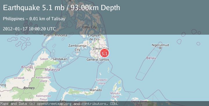
A 5.1 magnitude earthquake struck on MINDANAO, PHILIPPINES, at Tue, 17 Jan 2012 10:00:20 GMT. Depth: 93km. Reviewed by EMSC seismologists, this moderate quake occurred at a magnitude type of mb.
Magnitude
5.1
mb
Source
EMSC
Intensity
-
Agency Reports
1 Sources| Source | Magnitude | Depth | Time |
|---|---|---|---|
| EMSCPrimary | 5.1 | 93 km | 14 years ago |
Earthquake Details
AutomaticEvent IDemsc_EMSC_20120117_0000022
Tsunami PotentialNo
Magnitude Typemb
Nearest Places
- Tagbinonga2.6 km
- Mount Hamiguitan4.3 km
- Macaonan Point5.3 km
- City of Mati7.0 km
- Talisay7.1 km
Comments
Join the discussion about this event.
Latest Earthquakes
1.1Mag
31 km WSW of Ackerly, Texas
Time15 hours ago
Depth3.93 km
SourceUSGS (Automatic)
2.4Mag
West Papua Region, Indonesia
Time15 hours ago
Depth10.00 km
SourceBMKG
3.3Mag
Talaud Islands, Indonesia
Time15 hours ago
Depth10.00 km
SourceBMKG
1.1Mag
4 km NW of The Geysers, CA
Time15 hours ago
Depth3.39 km
SourceUSGS (Automatic)
1.0Mag
33 km WSW of Ackerly, Texas
Time15 hours ago
Depth4.44 km
SourceUSGS (Automatic)
Nearby Earthquakes
5.6Mag
MINDANAO, PHILIPPINES
Time12 years ago
Depth75.00 km
SourceEMSC (Automatic)
5.2Mag
MINDANAO, PHILIPPINES
Time18 years ago
Depth60.00 km
SourceEMSC (Automatic)
5.6Mag
MINDANAO, PHILIPPINES
Time13 years ago
Depth60.00 km
SourceEMSC (Automatic)
4.0Mag
MINDANAO, PHILIPPINES
Time1 year ago
Depth20.00 km
SourcePIVS (Automatic)
5.1Mag
MINDANAO, PHILIPPINES
Time19 years ago
Depth108.00 km
SourceEMSC (Automatic)