Earthquake KEPULAUAN SANGIHE, INDONESIA
Fri, 20 Jan 2012 22:50:52 GMT
Time14 years ago
Location
4.8400, 125.3400
Depth
44.0 KM
Event Summary
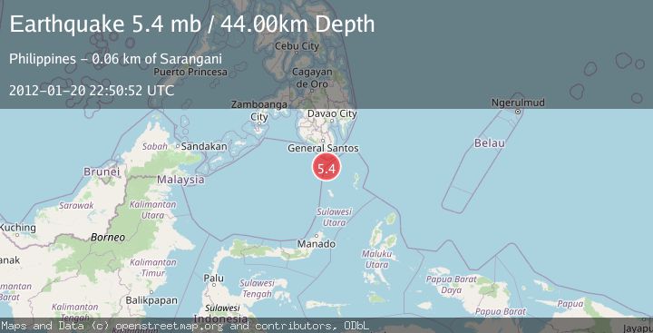
A 5.4 magnitude earthquake struck on KEPULAUAN SANGIHE, INDONESIA, at Fri, 20 Jan 2012 22:50:52 GMT. Depth: 44km. Reviewed by EMSC seismologists, this moderate quake occurred at a magnitude type of mb.
Magnitude
5.4
mb
Source
EMSC
Intensity
-
Agency Reports
1 Sources| Source | Magnitude | Depth | Time |
|---|---|---|---|
| EMSCPrimary | 5.4 | 44 km | 14 years ago |
Earthquake Details
AutomaticEvent IDemsc_EMSC_20120120_0000085
Tsunami PotentialNo
Magnitude Typemb
Nearest Places
- Pulau Batubawaikang19.6 km
- Desa Marore19.7 km
- Pulau Marore19.7 km
- Pulau Laweang19.8 km
- Kecamatan Kepulauan Marore19.8 km
Comments
Join the discussion about this event.
Latest Earthquakes
1.8Mag
Southern Alaska
Time13 hours ago
Depth10.00 km
SourceVYT (Automatic)
2.0Mag
Southern Alaska
Time13 hours ago
Depth29.91 km
SourceVYT (Automatic)
1.1Mag
2 km NNE of The Geysers, CA
Time13 hours ago
Depth2.51 km
SourceUSGS (Automatic)
2.2Mag
Dead Sea region
Time13 hours ago
Depth1.95 km
SourceVYT (Automatic)
2.3Mag
CENTRAL TURKEY
Time13 hours ago
Depth8.40 km
SourceKOERI (Automatic)
Nearby Earthquakes
3.0Mag
KEPULAUAN SANGIHE, INDONESIA
Time8 months ago
Depth23.00 km
SourcePIVS (Automatic)
5.3Mag
KEPULAUAN SANGIHE, INDONESIA
Time14 years ago
Depth30.00 km
SourceEMSC (Automatic)
5.1Mag
KEPULAUAN SANGIHE, INDONESIA
Time6 years ago
Depth60.00 km
SourceEMSC (Automatic)
3.0Mag
KEPULAUAN SANGIHE, INDONESIA
Time3 years ago
Depth211.00 km
SourcePIVS (Automatic)
4.5Mag
Talaud Islands, Indonesia
Time2 weeks ago
Depth10.00 km
SourceBMKG (Automatic)