Earthquake SOUTHERN SUMATRA, INDONESIA
Wed, 01 Feb 2012 07:14:28 GMT
Time14 years ago
Location
-3.7700, 102.0900
Depth
75.0 KM
Event Summary
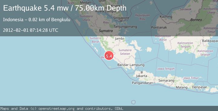
A 5.4 magnitude earthquake struck on SOUTHERN SUMATRA, INDONESIA, at Wed, 01 Feb 2012 07:14:28 GMT. Depth: 75km. Reviewed by EMSC seismologists, this moderate quake occurred at a magnitude type of mw.
Magnitude
5.4
mw
Source
EMSC
Intensity
-
Agency Reports
1 Sources| Source | Magnitude | Depth | Time |
|---|---|---|---|
| EMSCPrimary | 5.4 | 75 km | 14 years ago |
Earthquake Details
AutomaticEvent IDemsc_EMSC_20120201_0000021
Tsunami PotentialNo
Magnitude Typemw
Nearest Places
- Pulau Tikus11.7 km
- Ujung Coko16.7 km
- Teluk Pering17.3 km
- Kelurahan Malabero17.8 km
- Kelurahan Sumur Meleleh17.8 km
Comments
Join the discussion about this event.
Latest Earthquakes
2.8Mag
south of the Aleutian Islands
Time3 minutes ago
Depth10.00 km
SourceVYT (Automatic)
2.9Mag
Antofagasta, Chile
Time4 minutes ago
Depth0.00 km
SourceVYT (Automatic)
2.7Mag
Sumba Region, Indonesia
Time6 minutes ago
Depth29.43 km
SourceBMKG
3.8Mag
Sumbawa region, Indonesia
Time7 minutes ago
Depth244.51 km
SourceVYT (Automatic)
2.9Mag
EASTERN TURKEY
Time7 minutes ago
Depth9.30 km
SourceAFAD (Automatic)
Nearby Earthquakes
3.6Mag
Southern Sumatra, Indonesia
Time3 weeks ago
Depth72.51 km
SourceBMKG (Automatic)
5.2Mag
SOUTHERN SUMATRA, INDONESIA
Time15 years ago
Depth85.00 km
SourceEMSC (Automatic)
5.3Mag
SOUTHERN SUMATRA, INDONESIA
Time21 years ago
Depth33.00 km
SourceEMSC (Automatic)
3.0Mag
SOUTHERN SUMATRA, INDONESIA
Time2 years ago
Depth29.00 km
SourceBMKG (Automatic)
5.5Mag
SOUTHERN SUMATRA, INDONESIA
Time18 years ago
Depth52.00 km
SourceEMSC (Automatic)