Earthquake SOUTHERN SUMATRA, INDONESIA
Sun, 24 Feb 2008 04:36:30 GMT
Time18 years ago
Location
-3.7900, 101.8800
Depth
52.0 KM
Event Summary
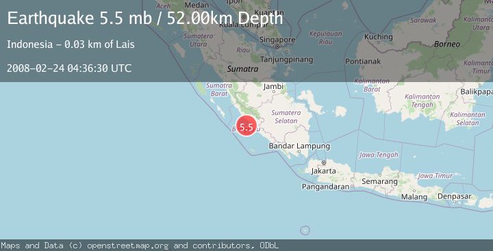
A 5.5 magnitude earthquake struck on SOUTHERN SUMATRA, INDONESIA, at Sun, 24 Feb 2008 04:36:30 GMT. Depth: 52km. Reviewed by EMSC seismologists, this moderate quake occurred at a magnitude type of mb.
Magnitude
5.5
mb
Source
EMSC
Intensity
-
Agency Reports
1 Sources| Source | Magnitude | Depth | Time |
|---|---|---|---|
| EMSCPrimary | 5.5 | 52 km | 18 years ago |
Earthquake Details
AutomaticEvent IDemsc_EMSC_20080224_0000032
Tsunami PotentialNo
Magnitude Typemb
Nearest Places
- Pulau Tikus32.8 km
- Air Lais33.3 km
- Air Bintuan33.6 km
- Dusunraja33.9 km
- Air Kotok34.0 km
Comments
Join the discussion about this event.
Latest Earthquakes
3.1Mag
Timor Sea
Time3 minutes ago
Depth92.16 km
SourceVYT (Automatic)
2.5Mag
Timor Region
Time11 minutes ago
Depth11.14 km
SourceBMKG
1.2Mag
2 km N of Loma Linda, CA
Time12 minutes ago
Depth11.22 km
SourceUSGS (Automatic)
3.2Mag
Alaska Peninsula
Time12 minutes ago
Depth10.00 km
SourceVYT (Automatic)
4.3Mag
Southwest of Sumatra, Indonesia
Time17 minutes ago
Depth11.58 km
SourceBMKG
Nearby Earthquakes
5.1Mag
SOUTHERN SUMATRA, INDONESIA
Time2 years ago
Depth60.00 km
SourceEMSC (Automatic)
4.0Mag
SOUTHERN SUMATRA, INDONESIA
Time7 months ago
Depth20.00 km
SourceBMKG (Automatic)
5.2Mag
SOUTHERN SUMATRA, INDONESIA
Time7 years ago
Depth50.00 km
SourceEMSC (Automatic)
5.6Mag
SOUTHERN SUMATRA, INDONESIA
Time15 years ago
Depth54.00 km
SourceEMSC (Automatic)
5.0Mag
SOUTHERN SUMATRA, INDONESIA
Time10 years ago
Depth60.00 km
SourceEMSC (Automatic)