Earthquake STRAIT OF GIBRALTAR
Wed, 02 May 2012 12:08:10 GMT
Time13 years ago
Location
36.5200, -2.6300
Depth
10.0 KM
Event Summary
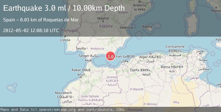
A 3.0 magnitude earthquake struck on STRAIT OF GIBRALTAR, at Wed, 02 May 2012 12:08:10 GMT. Depth: 10km. Reviewed by EMSC seismologists, this minor quake occurred at a magnitude type of ml.
Magnitude
3.0
ml
Source
EMSC
Intensity
-
Agency Reports
1 Sources| Source | Magnitude | Depth | Time |
|---|---|---|---|
| EMSCPrimary | 3.0 | 10 km | 13 years ago |
Earthquake Details
AutomaticEvent IDemsc_EMSC_20120502_0000072
Tsunami PotentialNo
Magnitude Typeml
Nearest Places
- 12.1 km
- 19.2 km
- 19.5 km
- 19.6 km
- 19.6 km
Comments
Join the discussion about this event.
Latest Earthquakes
2.5Mag
Java, Indonesia
Time9 minutes ago
Depth22.20 km
SourceBMKG
0.9Mag
108 km S of McCarthy, Alaska
Time12 minutes ago
Depth9.10 km
SourceUSGS (Automatic)
1.8Mag
Alaska Peninsula
Time14 minutes ago
Depth27.71 km
SourceVYT (Automatic)
2.8Mag
Sulawesi, Indonesia
Time18 minutes ago
Depth4.80 km
SourceBMKG
1.1Mag
5 km N of Banning, CA
Time19 minutes ago
Depth18.99 km
SourceUSGS (Automatic)
Nearby Earthquakes
3.0Mag
STRAIT OF GIBRALTAR
Time13 years ago
Depth9.00 km
SourceMDD (Automatic)
3.0Mag
STRAIT OF GIBRALTAR
Time13 years ago
Depth10.00 km
SourceMDD (Automatic)
2.0Mag
STRAIT OF GIBRALTAR
Time3 weeks ago
Depth19.20 km
SourceIGN (Automatic)
3.0Mag
STRAIT OF GIBRALTAR
Time14 years ago
Depth15.00 km
SourceEMSC (Automatic)
3.0Mag
STRAIT OF GIBRALTAR
Time18 years ago
Depth10.00 km
SourceEMSC (Automatic)