Earthquake 5 km N of Banning, CA
Sun, 22 Feb 2026 23:38:25 GMT
Time1 hour ago
Location
33.9745, -116.8822
Depth
19.0 KM
Event Summary
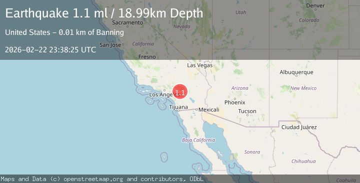
A 1.1 magnitude earthquake struck on 5 km N of Banning, CA, at Sun, 22 Feb 2026 23:38:25 GMT. Depth: 18.9899997711182km. Reviewed by USGS seismologists, this minor quake occurred at a magnitude type of ml.
Magnitude
1.1
ml
Source
USGS
Intensity
-
Agency Reports
1 Sources| Source | Magnitude | Depth | Time |
|---|---|---|---|
| USGSPrimary | 1.1 | 19 km | 1 hour ago |
Earthquake Details
AutomaticEvent IDusgs_ci41401704
Tsunami PotentialNo
Magnitude Typeml
Nearest Places
- 0.8 km
- 2.4 km
- 2.6 km
- 2.7 km
- 2.8 km
Comments
Join the discussion about this event.
Latest Earthquakes
1.9Mag
Southern California
Time27 minutes ago
Depth11.11 km
SourceVYT (Automatic)
1.9Mag
Sweden
Time29 minutes ago
Depth11.84 km
SourceVYT (Automatic)
0.8Mag
9 km NNW of Perryville, Alaska
Time31 minutes ago
Depth118.40 km
SourceUSGS (Automatic)
0.5Mag
Northern Territory, Australia
Time34 minutes ago
Depth5.00 km
SourceVYT (Automatic)
3.5Mag
OFF E. COAST OF N. ISLAND, N.Z.
Time37 minutes ago
Depth207.40 km
SourceGNS (Automatic)
Nearby Earthquakes
1.1Mag
6 km NNE of Banning, CA
Time3 weeks ago
Depth8.23 km
SourceUSGS (Automatic)
1.3Mag
2 km NNW of Banning, CA
Time3 weeks ago
Depth9.62 km
SourceUSGS (Automatic)
1.4Mag
8 km NNE of Banning, CA
Time0 months ago
Depth12.57 km
SourceUSGS (Automatic)
3.0Mag
SOUTHERN CALIFORNIA
Time2 years ago
Depth8.80 km
SourceSCSN (Automatic)
1.2Mag
9 km N of Banning, CA
Time2 days ago
Depth18.03 km
SourceUSGS (Automatic)