Earthquake KEP. TANIMBAR REGION, INDONESIA
Thu, 02 Aug 2012 07:37:42 GMT
Time13 years ago
Location
-7.0500, 131.2200
Depth
46.0 KM
Event Summary
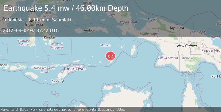
A 5.4 magnitude earthquake struck on KEP. TANIMBAR REGION, INDONESIA, at Thu, 02 Aug 2012 07:37:42 GMT. Depth: 46km. Reviewed by EMSC seismologists, this moderate quake occurred at a magnitude type of mw.
Magnitude
5.4
mw
Source
EMSC
Intensity
-
Agency Reports
1 Sources| Source | Magnitude | Depth | Time |
|---|---|---|---|
| EMSCPrimary | 5.4 | 46 km | 13 years ago |
Earthquake Details
AutomaticEvent IDemsc_EMSC_20120802_0000023
Tsunami PotentialNo
Magnitude Typemw
Nearest Places
- Pulau Itam24.4 km
- Tanjung Somorwahan25.0 km
- Desa Teineman25.8 km
- Pulau Namwaan25.8 km
- Desa Labobar26.7 km
Comments
Join the discussion about this event.
Latest Earthquakes
2.5Mag
Minahasa, Sulawesi, Indonesia
Time1 minute ago
Depth3.05 km
SourceVYT (Automatic)
2.6Mag
Antofagasta, Chile
Time1 minute ago
Depth125.12 km
SourceVYT (Automatic)
0.8Mag
7 km NW of The Geysers, CA
Time5 minutes ago
Depth1.32 km
SourceUSGS (Automatic)
2.5Mag
San Juan, Argentina
Time10 minutes ago
Depth363.53 km
SourceVYT (Automatic)
2.5Mag
Java, Indonesia
Time10 minutes ago
Depth115.43 km
SourceBMKG
Nearby Earthquakes
4.0Mag
KEP. TANIMBAR REGION, INDONESIA
Time4 years ago
Depth241.00 km
SourceDJA (Automatic)
5.1Mag
KEP. TANIMBAR REGION, INDONESIA
Time7 years ago
Depth45.00 km
SourceEMSC (Automatic)
3.9Mag
KEP. TANIMBAR REGION, INDONESIA
Time1 month ago
Depth75.00 km
SourceBMKG (Automatic)
5.6Mag
KEP. TANIMBAR REGION, INDONESIA
Time13 years ago
Depth54.00 km
SourceEMSC (Automatic)
5.5Mag
KEP. TANIMBAR REGION, INDONESIA
Time10 years ago
Depth60.00 km
SourceEMSC (Automatic)