Earthquake KEP. TANIMBAR REGION, INDONESIA
Thu, 27 Sep 2018 05:28:59 GMT
Time7 years ago
Location
-7.0100, 131.1700
Depth
45.0 KM
Event Summary
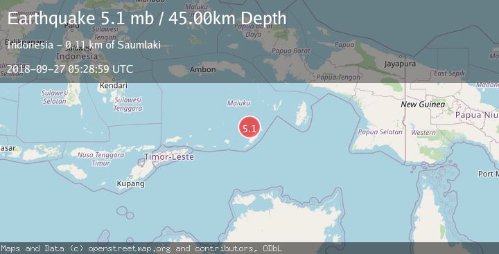
A 5.1 magnitude earthquake struck on KEP. TANIMBAR REGION, INDONESIA, at Thu, 27 Sep 2018 05:28:59 GMT. Depth: 45km. Reviewed by EMSC seismologists, this moderate quake occurred at a magnitude type of mb.
Magnitude
5.1
mb
Source
EMSC
Intensity
-
Agency Reports
1 Sources| Source | Magnitude | Depth | Time |
|---|---|---|---|
| EMSCPrimary | 5.1 | 45 km | 7 years ago |
Earthquake Details
AutomaticEvent IDemsc_EMSC_20180927_0000022
Tsunami PotentialNo
Magnitude Typemb
Nearest Places
- Pulau Itam30.7 km
- Tanjung Somorwahan32.1 km
- Desa Teineman32.5 km
- Pulau Namwaan32.5 km
- Tanjung Ufi33.5 km
Comments
Join the discussion about this event.
Latest Earthquakes
2.4Mag
Sulawesi, Indonesia
Time1 hour ago
Depth4.26 km
SourceBMKG
2.2Mag
Northern Sumatra, Indonesia
Time1 hour ago
Depth8.25 km
SourceBMKG
2.5Mag
CRETE, GREECE
Time1 hour ago
Depth17.50 km
SourceNOA (Automatic)
2.5Mag
Tarapaca, Chile
Time1 hour ago
Depth112.55 km
SourceVYT (Automatic)
2.0Mag
ALBANIA
Time1 hour ago
Depth15.00 km
SourceIGEO (Automatic)
Nearby Earthquakes
4.0Mag
KEP. TANIMBAR REGION, INDONESIA
Time4 years ago
Depth241.00 km
SourceDJA (Automatic)
5.4Mag
KEP. TANIMBAR REGION, INDONESIA
Time13 years ago
Depth46.00 km
SourceEMSC (Automatic)
3.9Mag
KEP. TANIMBAR REGION, INDONESIA
Time1 month ago
Depth75.00 km
SourceBMKG (Automatic)
5.2Mag
KEP. TANIMBAR REGION, INDONESIA
Time8 years ago
Depth76.00 km
SourceEMSC (Automatic)
5.1Mag
KEP. TANIMBAR REGION, INDONESIA
Time1 month ago
Depth40.00 km
SourceEMSC (Automatic)