Earthquake HALMAHERA, INDONESIA
Sat, 18 Aug 2012 15:31:45 GMT
Time13 years ago
Location
2.6800, 128.8100
Depth
48.0 KM
Event Summary
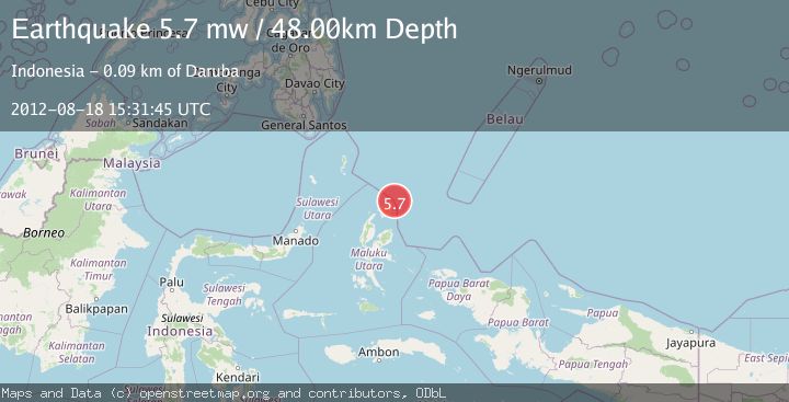
A 5.7 magnitude earthquake struck on HALMAHERA, INDONESIA, at Sat, 18 Aug 2012 15:31:45 GMT. Depth: 48km. Reviewed by EMSC seismologists, this moderate quake occurred at a magnitude type of mw.
Magnitude
5.7
mw
Source
EMSC
Intensity
-
Agency Reports
1 Sources| Source | Magnitude | Depth | Time |
|---|---|---|---|
| EMSCPrimary | 5.7 | 48 km | 13 years ago |
Earthquake Details
AutomaticEvent IDemsc_EMSC_20120818_0000049
Tsunami PotentialNo
Magnitude Typemw
Nearest Places
- Tanjung Gorango24.0 km
- Kurago24.6 km
- Tanjung Gogopoa24.7 km
- Tanjung Baru24.9 km
- Teluk Losuo25.0 km
Comments
Join the discussion about this event.
Latest Earthquakes
2.4Mag
Finland-Russia border region
Time2 minutes ago
Depth341.92 km
SourceVYT (Automatic)
0.9Mag
8 km W of Cobb, CA
Time7 minutes ago
Depth1.53 km
SourceUSGS (Automatic)
1.8Mag
Central Alaska
Time9 minutes ago
Depth2.08 km
SourceVYT (Automatic)
2.9Mag
WESTERN TURKEY
Time12 minutes ago
Depth11.80 km
SourceKOERI (Automatic)
2.8Mag
Sulawesi, Indonesia
Time13 minutes ago
Depth21.08 km
SourceBMKG
Nearby Earthquakes
4.0Mag
HALMAHERA, INDONESIA
Time3 years ago
Depth10.00 km
SourceDJA (Automatic)
4.3Mag
HALMAHERA, INDONESIA
Time5 days ago
Depth20.00 km
SourcePIVS (Automatic)
5.0Mag
HALMAHERA, INDONESIA
Time13 years ago
Depth40.00 km
SourceEMSC (Automatic)
3.0Mag
HALMAHERA, INDONESIA
Time2 years ago
Depth213.00 km
SourceBMKG (Automatic)
4.9Mag
HALMAHERA, INDONESIA
Time1 month ago
Depth231.20 km
SourceEMSC (Automatic)