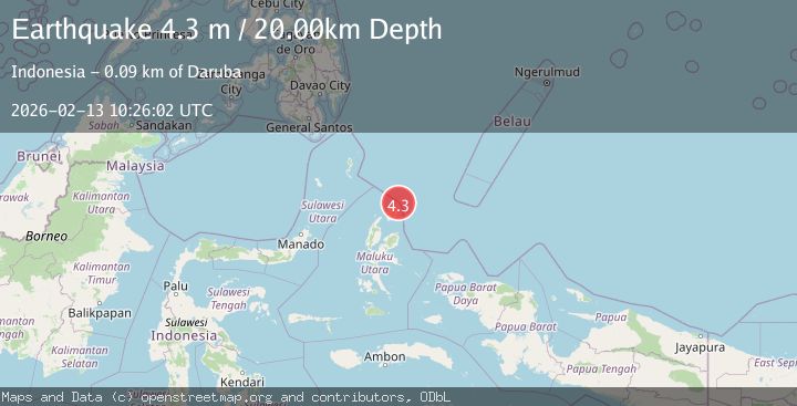
Earthquake HALMAHERA, INDONESIA
Fri, 13 Feb 2026 10:26:02 GMT
Time5 days ago
Location
2.7400, 128.7500
Depth
20.0 KM
Event Summary
A 4.3 magnitude earthquake struck on HALMAHERA, INDONESIA, at Fri, 13 Feb 2026 10:26:02 GMT. Depth: 20km. Reviewed by PIVS seismologists, this light quake occurred at a magnitude type of m.
Magnitude
4.3
m
Source
PIVS
Intensity
-
Agency Reports
1 Sources| Source | Magnitude | Depth | Time |
|---|---|---|---|
| PIVSPrimary | 4.3 | 20 km | 5 days ago |
Earthquake Details
AutomaticEvent IDemsc_PIVS_20260213_0000143
Tsunami PotentialNo
Magnitude Typem
Nearest Places
- Papuamalolu22.5 km
- Tanjung Sopi22.9 km
- Tanjung Gogopoa23.5 km
- Desa Loleo24.0 km
- Ake Pangeo24.5 km
Comments
Join the discussion about this event.
Latest Earthquakes
2.4Mag
Finland
Time3 minutes ago
Depth301.88 km
SourceVYT (Automatic)
1.2Mag
Alaska Peninsula
Time4 minutes ago
Depth0.12 km
SourceVYT (Automatic)
4.1Mag
NEAR COAST OF NORTHERN PERU
Time9 minutes ago
Depth35.00 km
SourceLIM (Automatic)
3.1Mag
DODECANESE IS.-TURKEY BORDER REG
Time10 minutes ago
Depth4.10 km
SourceKOERI (Automatic)
2.6Mag
NEAR COAST OF NICARAGUA
Time15 minutes ago
Depth38.00 km
SourceINET (Automatic)
Nearby Earthquakes
3.0Mag
HALMAHERA, INDONESIA
Time2 years ago
Depth213.00 km
SourceBMKG (Automatic)
5.7Mag
HALMAHERA, INDONESIA
Time13 years ago
Depth48.00 km
SourceEMSC (Automatic)
4.0Mag
HALMAHERA, INDONESIA
Time3 years ago
Depth10.00 km
SourceDJA (Automatic)
4.9Mag
HALMAHERA, INDONESIA
Time1 month ago
Depth231.20 km
SourceEMSC (Automatic)
5.2Mag
HALMAHERA, INDONESIA
Time11 years ago
Depth225.00 km
SourceEMSC (Automatic)