Earthquake MINDANAO, PHILIPPINES
Sat, 16 Feb 2013 04:37:35 GMT
Time13 years ago
Location
5.9600, 125.8500
Depth
94.0 KM
Event Summary
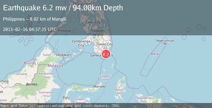
A 6.2 magnitude earthquake struck on MINDANAO, PHILIPPINES, at Sat, 16 Feb 2013 04:37:35 GMT. Depth: 94km. Reviewed by EMSC seismologists, this strong quake occurred at a magnitude type of mw.
Magnitude
6.2
mw
Source
EMSC
Intensity
-
Agency Reports
1 Sources| Source | Magnitude | Depth | Time |
|---|---|---|---|
| EMSCPrimary | 6.2 | 94 km | 13 years ago |
Earthquake Details
AutomaticEvent IDemsc_EMSC_20130216_0000018
Tsunami PotentialNo
Magnitude Typemw
Nearest Places
- Lawayon Point18.1 km
- Mangili Point18.2 km
- Buguis Creek18.4 km
- Buguis18.4 km
- Mangili Creek18.4 km
Comments
Join the discussion about this event.
Latest Earthquakes
0.7Mag
Southern Alaska
Time6 hours ago
Depth0.00 km
SourceVYT (Automatic)
2.4Mag
Minahassa Peninsula, Sulawesi
Time6 hours ago
Depth9.93 km
SourceBMKG
0.9Mag
13 km E of Coso Junction, CA
Time6 hours ago
Depth1.49 km
SourceUSGS (Automatic)
1.6Mag
Southern Alaska
Time6 hours ago
Depth25.15 km
SourceVYT (Automatic)
1.7Mag
Czech Republic
Time6 hours ago
Depth0.00 km
SourceVYT (Automatic)
Nearby Earthquakes
3.0Mag
MINDANAO, PHILIPPINES
Time11 months ago
Depth143.00 km
SourcePIVS (Automatic)
5.6Mag
MINDANAO, PHILIPPINES
Time16 years ago
Depth163.00 km
SourceEMSC (Automatic)
4.5Mag
Mindanao, Philippines
Time4 days ago
Depth10.77 km
SourceBMKG
3.0Mag
MINDANAO, PHILIPPINES
Time4 years ago
Depth65.00 km
SourcePIVS (Automatic)
3.0Mag
MINDANAO, PHILIPPINES
Time2 years ago
Depth132.00 km
SourcePIVS (Automatic)