Earthquake PHILIPPINE ISLANDS REGION
Sat, 02 Mar 2013 00:11:08 GMT
Time12 years ago
Location
5.5400, 127.0700
Depth
80.0 KM
Event Summary
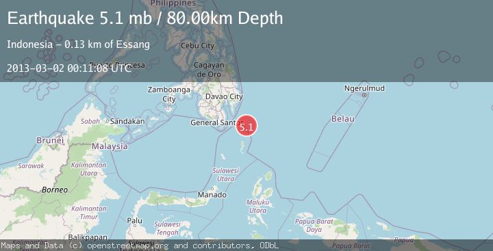
A 5.1 magnitude earthquake struck on PHILIPPINE ISLANDS REGION, at Sat, 02 Mar 2013 00:11:08 GMT. Depth: 80km. Reviewed by EMSC seismologists, this moderate quake occurred at a magnitude type of mb.
Magnitude
5.1
mb
Source
EMSC
Intensity
-
Agency Reports
1 Sources| Source | Magnitude | Depth | Time |
|---|---|---|---|
| EMSCPrimary | 5.1 | 80 km | 12 years ago |
Earthquake Details
AutomaticEvent IDemsc_EMSC_20130302_0000002
Tsunami PotentialNo
Magnitude Typemb
Nearest Places
- Tanjung Dapapa53.3 km
- Desa Pulau Miangas53.8 km
- Kecamatan Miangas53.9 km
- Pulau Miangas53.9 km
- Pulau Baronto54.1 km
Comments
Join the discussion about this event.
Latest Earthquakes
0.6Mag
Southern Alaska
Time1 minute ago
Depth0.00 km
SourceVYT (Automatic)
1.3Mag
Oregon
Time2 minutes ago
Depth0.00 km
SourceVYT (Automatic)
3.1Mag
Northern Molucca Sea
Time3 minutes ago
Depth12.05 km
SourceBMKG
2.0Mag
Tarapaca, Chile
Time5 minutes ago
Depth104.13 km
SourceVYT (Automatic)
2.0Mag
Tarapaca, Chile
Time8 minutes ago
Depth120.97 km
SourceVYT (Automatic)
Nearby Earthquakes
4.0Mag
PHILIPPINE ISLANDS REGION
Time6 years ago
Depth49.00 km
SourceNEIC (Automatic)
5.1Mag
PHILIPPINE ISLANDS REGION
Time13 years ago
Depth118.00 km
SourceEMSC (Automatic)
3.0Mag
PHILIPPINE ISLANDS REGION
Time5 years ago
Depth25.00 km
SourcePIVS (Automatic)
3.0Mag
PHILIPPINE ISLANDS REGION
Time6 months ago
Depth26.00 km
SourcePIVS (Automatic)
3.0Mag
PHILIPPINE ISLANDS REGION
Time4 years ago
Depth5.00 km
SourcePIVS (Automatic)