Earthquake BALI SEA
Mon, 17 Jun 2013 19:17:59 GMT
Time12 years ago
Location
-7.8500, 115.8100
Depth
269.0 KM
Event Summary
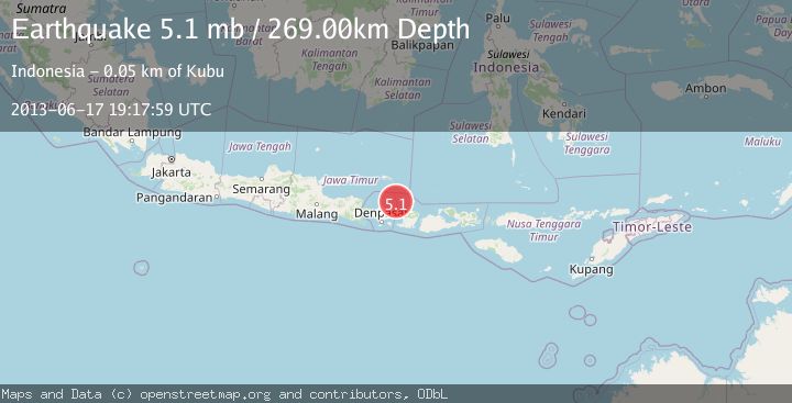
A 5.1 magnitude earthquake struck on BALI SEA, at Mon, 17 Jun 2013 19:17:59 GMT. Depth: 269km. Reviewed by EMSC seismologists, this moderate quake occurred at a magnitude type of mb.
Magnitude
5.1
mb
Source
EMSC
Intensity
-
Agency Reports
1 Sources| Source | Magnitude | Depth | Time |
|---|---|---|---|
| EMSCPrimary | 5.1 | 269 km | 12 years ago |
Earthquake Details
AutomaticEvent IDemsc_EMSC_20130617_0000068
Tsunami PotentialNo
Magnitude Typemb
Nearest Places
- 21.0 km
- 35.9 km
- 50.7 km
- 50.7 km
- 50.8 km
Comments
Join the discussion about this event.
Latest Earthquakes
3.0Mag
Potosi, Bolivia
Time4 minutes ago
Depth68.60 km
SourceVYT (Automatic)
2.2Mag
Tarapaca, Chile
Time6 minutes ago
Depth53.59 km
SourceVYT (Automatic)
1.7Mag
3 km NE of The Geysers, CA
Time7 minutes ago
Depth0.72 km
SourceUSGS (Automatic)
1.3Mag
3 km ENE of The Geysers, CA
Time10 minutes ago
Depth1.49 km
SourceUSGS (Automatic)
1.9Mag
3 km ENE of The Geysers, CA
Time12 minutes ago
Depth0.87 km
SourceUSGS (Automatic)
Nearby Earthquakes
3.4Mag
Bali Sea
Time3 hours ago
Depth25.51 km
SourceVYT (Automatic)
3.0Mag
BALI REGION, INDONESIA
Time1 year ago
Depth243.00 km
SourceBMKG (Automatic)
3.0Mag
BALI REGION, INDONESIA
Time5 years ago
Depth12.00 km
SourceDJA (Automatic)
3.0Mag
BALI REGION, INDONESIA
Time3 years ago
Depth10.00 km
SourceDJA (Automatic)
2.2Mag
Bali Sea
Time3 weeks ago
Depth13.62 km
SourceBMKG (Automatic)