Earthquake SOUTH OF KERMADEC ISLANDS
Wed, 03 Jul 2013 20:13:33 GMT
Time12 years ago
Location
-32.3700, -179.8900
Depth
218.0 KM
Event Summary
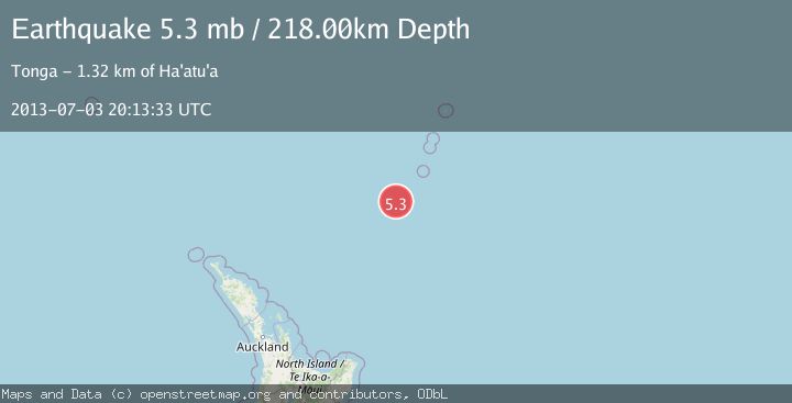
A 5.3 magnitude earthquake struck on SOUTH OF KERMADEC ISLANDS, at Wed, 03 Jul 2013 20:13:33 GMT. Depth: 218km. Reviewed by EMSC seismologists, this moderate quake occurred at a magnitude type of mb.
Magnitude
5.3
mb
Source
EMSC
Intensity
-
Agency Reports
1 Sources| Source | Magnitude | Depth | Time |
|---|---|---|---|
| EMSCPrimary | 5.3 | 218 km | 12 years ago |
Earthquake Details
AutomaticEvent IDemsc_EMSC_20130703_0000081
Tsunami PotentialNo
Magnitude Typemb
Nearest Places
- Oliver Knoll20.6 km
- Speight Knoll28.3 km
- Haungaroa Seamount36.8 km
- Star of Bengal Bank74.4 km
- Kuiwai Seamount88.4 km
Comments
Join the discussion about this event.
Latest Earthquakes
3.5Mag
Ceram Sea, Indonesia
Time2 minutes ago
Depth0.00 km
SourceVYT (Automatic)
2.0Mag
Unimak Island region, Alaska
Time3 minutes ago
Depth32.10 km
SourceVYT (Automatic)
2.3Mag
Central Alaska
Time5 minutes ago
Depth0.00 km
SourceVYT (Automatic)
2.8Mag
Valparaiso, Chile
Time9 minutes ago
Depth20.02 km
SourceVYT (Automatic)
1.3Mag
Tarapaca, Chile
Time13 minutes ago
Depth0.00 km
SourceVYT (Automatic)
Nearby Earthquakes
5.2Mag
SOUTH OF KERMADEC ISLANDS
Time16 years ago
Depth339.00 km
SourceEMSC (Automatic)
5.1Mag
SOUTH OF KERMADEC ISLANDS
Time17 years ago
Depth236.00 km
SourceEMSC (Automatic)
4.0Mag
SOUTH OF KERMADEC ISLANDS
Time3 years ago
Depth375.00 km
SourceEMSC (Automatic)
5.2Mag
SOUTH OF KERMADEC ISLANDS
Time4 years ago
Depth235.00 km
SourceEMSC (Automatic)
4.0Mag
SOUTH OF KERMADEC ISLANDS
Time3 years ago
Depth300.00 km
SourceGNS (Automatic)