Earthquake SOUTHERN SUMATRA, INDONESIA
Sat, 14 Feb 2026 12:19:51 GMT
Time5 days ago
Location
-3.5500, 101.5800
Depth
10.0 KM
Event Summary
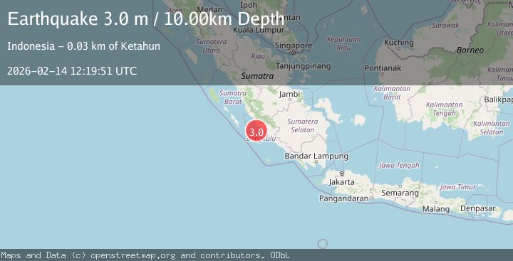
A 3.0 magnitude earthquake struck on SOUTHERN SUMATRA, INDONESIA, at Sat, 14 Feb 2026 12:19:51 GMT. Depth: 10km. Reviewed by BMKG seismologists, this minor quake occurred at a magnitude type of m.
Magnitude
3.0
m
Source
BMKG
Intensity
-
Agency Reports
1 Sources| Source | Magnitude | Depth | Time |
|---|---|---|---|
| BMKGPrimary | 3.0 | 10 km | 5 days ago |
Earthquake Details
AutomaticEvent IDemsc_BMKG_20260214_0000204
Tsunami PotentialNo
Magnitude Typem
Nearest Places
- Desa Lubuk Mindai31.4 km
- Karangpulau31.6 km
- Sungai Ketahun32.2 km
- Desa Kualalangi32.7 km
- Desa Pasar Ketahun32.9 km
Comments
Join the discussion about this event.
Latest Earthquakes
2.5Mag
Java, Indonesia
Time5 minutes ago
Depth35.11 km
SourceBMKG
1.4Mag
13 km N of Meadow Lakes, Alaska
Time13 minutes ago
Depth28.30 km
SourceUSGS (Automatic)
2.2Mag
West Papua Region, Indonesia
Time13 minutes ago
Depth72.97 km
SourceBMKG
2.1Mag
Southern Alaska
Time13 minutes ago
Depth0.00 km
SourceVYT (Automatic)
2.5Mag
SOUTHERN GREECE
Time20 minutes ago
Depth17.20 km
SourceNOA (Automatic)
Nearby Earthquakes
4.0Mag
SOUTHERN SUMATRA, INDONESIA
Time6 years ago
Depth15.00 km
SourceDJA (Automatic)
5.1Mag
SOUTHERN SUMATRA, INDONESIA
Time1 year ago
Depth51.00 km
SourceEMSC (Automatic)
3.0Mag
SOUTHERN SUMATRA, INDONESIA
Time4 months ago
Depth28.00 km
SourceBMKG (Automatic)
5.2Mag
SOUTHERN SUMATRA, INDONESIA
Time12 years ago
Depth56.00 km
SourceEMSC (Automatic)
2.6Mag
Southern Sumatra, Indonesia
Time3 weeks ago
Depth25.66 km
SourceBMKG (Automatic)