Earthquake KERMADEC ISLANDS REGION
Mon, 12 Aug 2013 04:16:48 GMT
Time12 years ago
Location
-30.6600, -179.5800
Depth
348.0 KM
Event Summary
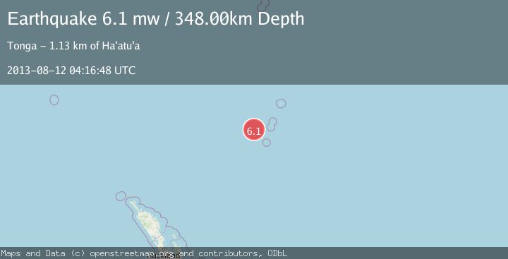
A 6.1 magnitude earthquake struck on KERMADEC ISLANDS REGION, at Mon, 12 Aug 2013 04:16:48 GMT. Depth: 348km. Reviewed by EMSC seismologists, this strong quake occurred at a magnitude type of mw.
Magnitude
6.1
mw
Source
EMSC
Intensity
-
Agency Reports
1 Sources| Source | Magnitude | Depth | Time |
|---|---|---|---|
| EMSCPrimary | 6.1 | 348 km | 12 years ago |
Earthquake Details
AutomaticEvent IDemsc_EMSC_20130812_0000021
Tsunami PotentialNo
Magnitude Typemw
Nearest Places
- Havre Seamount70.2 km
- Colville Ridge83.7 km
- Havre Trough93.7 km
- Havre Rock94.6 km
- Cheeseman Island97.8 km
Comments
Join the discussion about this event.
Latest Earthquakes
2.7Mag
Kenai Peninsula, Alaska
Time4 minutes ago
Depth37.60 km
SourceVYT (Automatic)
1.1Mag
Washington
Time6 minutes ago
Depth0.00 km
SourceVYT (Automatic)
3.2Mag
Region Metropolitana, Chile
Time6 minutes ago
Depth99.73 km
SourceVYT (Automatic)
2.4Mag
Sumba Region, Indonesia
Time10 minutes ago
Depth17.38 km
SourceBMKG
2.1Mag
West Papua Region, Indonesia
Time12 minutes ago
Depth10.00 km
SourceBMKG
Nearby Earthquakes
5.7Mag
KERMADEC ISLANDS REGION
Time2 years ago
Depth435.00 km
SourceEMSC (Automatic)
4.0Mag
KERMADEC ISLANDS REGION
Time3 years ago
Depth203.00 km
SourceNEIC (Automatic)
5.2Mag
KERMADEC ISLANDS REGION
Time5 years ago
Depth338.00 km
SourceEMSC (Automatic)
5.0Mag
KERMADEC ISLANDS REGION
Time19 years ago
Depth200.00 km
SourceEMSC (Automatic)
5.1Mag
KERMADEC ISLANDS REGION
Time4 years ago
Depth361.00 km
SourceEMSC (Automatic)