Earthquake MOLUCCA SEA
Sun, 29 Dec 2013 15:37:39 GMT
Time12 years ago
Location
1.3700, 126.2900
Depth
48.0 KM
Event Summary
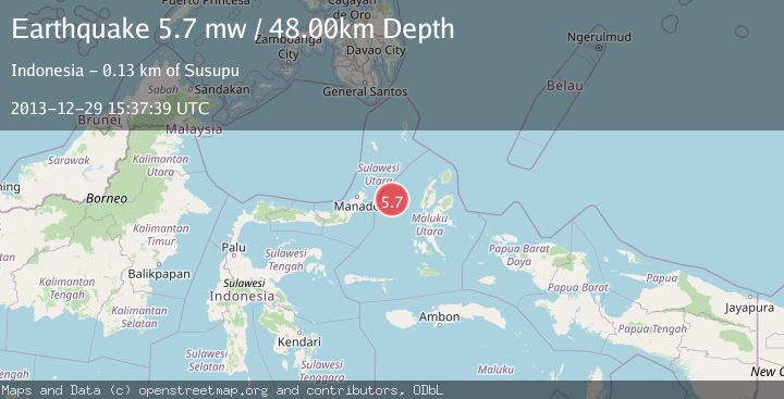
A 5.7 magnitude earthquake struck on MOLUCCA SEA, at Sun, 29 Dec 2013 15:37:39 GMT. Depth: 48km. Reviewed by EMSC seismologists, this moderate quake occurred at a magnitude type of mw.
Magnitude
5.7
mw
Source
EMSC
Intensity
-
Agency Reports
1 Sources| Source | Magnitude | Depth | Time |
|---|---|---|---|
| EMSCPrimary | 5.7 | 48 km | 12 years ago |
Earthquake Details
AutomaticEvent IDemsc_EMSC_20131229_0000070
Tsunami PotentialNo
Magnitude Typemw
Nearest Places
- Kelurahan Perum Bersatu8.9 km
- Pasirputih9.5 km
- Kelurahan Mayau10.3 km
- Kecamatan Pulau Batang Dua11.8 km
- Pulau Mayu11.8 km
Comments
Join the discussion about this event.
Latest Earthquakes
1.7Mag
Central Alaska
Time5 minutes ago
Depth86.30 km
SourceVYT (Automatic)
4.6Mag
Tarapaca, Chile
Time8 minutes ago
Depth111.45 km
SourceVYT (Automatic)
2.5Mag
IONIAN SEA
Time20 minutes ago
Depth13.20 km
SourceNOA (Automatic)
2.4Mag
Tarapaca, Chile
Time21 minutes ago
Depth0.00 km
SourceVYT (Automatic)
0.8Mag
4 km NW of The Geysers, CA
Time24 minutes ago
Depth3.24 km
SourceUSGS (Automatic)
Nearby Earthquakes
5.0Mag
MOLUCCA SEA
Time12 years ago
Depth47.00 km
SourceEMSC (Automatic)
5.2Mag
MOLUCCA SEA
Time14 years ago
Depth80.00 km
SourceEMSC (Automatic)
3.0Mag
MOLUCCA SEA
Time8 months ago
Depth38.00 km
SourceBMKG (Automatic)
3.0Mag
MOLUCCA SEA
Time2 years ago
Depth45.00 km
SourceBMKG (Automatic)
4.0Mag
MOLUCCA SEA
Time6 years ago
Depth10.00 km
SourceDJA (Automatic)