Earthquake NORTH OF HALMAHERA, INDONESIA
Sun, 05 Jan 2014 11:44:13 GMT
Time12 years ago
Location
3.1500, 128.2600
Depth
60.0 KM
Event Summary
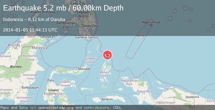
A 5.2 magnitude earthquake struck on NORTH OF HALMAHERA, INDONESIA, at Sun, 05 Jan 2014 11:44:13 GMT. Depth: 60km. Reviewed by EMSC seismologists, this moderate quake occurred at a magnitude type of mb.
Magnitude
5.2
mb
Source
EMSC
Intensity
-
Agency Reports
1 Sources| Source | Magnitude | Depth | Time |
|---|---|---|---|
| EMSCPrimary | 5.2 | 60 km | 12 years ago |
Earthquake Details
AutomaticEvent IDemsc_EMSC_20140105_0000033
Tsunami PotentialNo
Magnitude Typemb
Nearest Places
- Morotai Basin33.3 km
- Tanjung Padangi65.7 km
- Tanjung Sopi65.9 km
- Kakaibabao66.3 km
- Tanjung Berri Berri67.0 km
Comments
Join the discussion about this event.
Latest Earthquakes
2.7Mag
Tarapaca, Chile
Time1 minute ago
Depth47.00 km
SourceVYT (Automatic)
1.3Mag
Southeastern Alaska
Time2 minutes ago
Depth0.00 km
SourceVYT (Automatic)
1.5Mag
British Columbia, Canada
Time4 minutes ago
Depth25.88 km
SourceVYT (Automatic)
2.9Mag
Antofagasta, Chile
Time9 minutes ago
Depth109.25 km
SourceVYT (Automatic)
1.9Mag
Andreanof Islands, Aleutian Islands, Alaska
Time11 minutes ago
Depth0.85 km
SourceVYT (Automatic)
Nearby Earthquakes
5.2Mag
NORTH OF HALMAHERA, INDONESIA
Time5 years ago
Depth146.00 km
SourceEMSC (Automatic)
5.8Mag
NORTH OF HALMAHERA, INDONESIA
Time20 years ago
Depth33.00 km
SourceEMSC (Automatic)
5.3Mag
NORTH OF HALMAHERA, INDONESIA
Time10 years ago
Depth133.00 km
SourceEMSC (Automatic)
5.1Mag
NORTH OF HALMAHERA, INDONESIA
Time12 years ago
Depth60.00 km
SourceEMSC (Automatic)
5.1Mag
NORTH OF HALMAHERA, INDONESIA
Time11 years ago
Depth60.00 km
SourceEMSC (Automatic)