Earthquake PERU-ECUADOR BORDER REGION
Sun, 26 Jan 2014 05:10:26 GMT
Time12 years ago
Location
-3.8400, -80.8500
Depth
2.0 KM
Event Summary
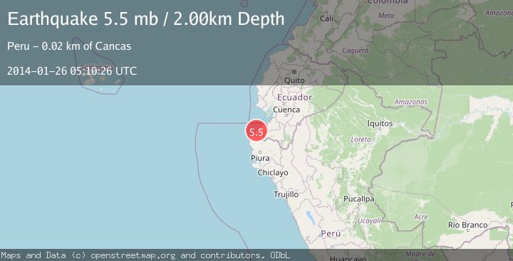
A 5.5 magnitude earthquake struck on PERU-ECUADOR BORDER REGION, at Sun, 26 Jan 2014 05:10:26 GMT. Depth: 2km. Reviewed by EMSC seismologists, this moderate quake occurred at a magnitude type of mb.
Magnitude
5.5
mb
Source
EMSC
Intensity
-
Agency Reports
1 Sources| Source | Magnitude | Depth | Time |
|---|---|---|---|
| EMSCPrimary | 5.5 | 2 km | 12 years ago |
Earthquake Details
AutomaticEvent IDemsc_EMSC_20140126_0000022
Tsunami PotentialNo
Magnitude Typemb
Nearest Places
- Quebrada Honda2.0 km
- Quebrada Lavejal2.3 km
- Peña Redonda2.6 km
- Quebrada Culebras3.0 km
- Caleta Mero3.0 km
Comments
Join the discussion about this event.
Latest Earthquakes
2.7Mag
Andreanof Islands, Aleutian Islands, Alaska
Time21 hours ago
Depth29.17 km
SourceVYT (Automatic)
1.6Mag
44 km NW of Toyah, Texas
Time21 hours ago
Depth0.00 km
SourceUSGS (Automatic)
2.2Mag
Washington
Time21 hours ago
Depth27.59 km
SourceVYT (Automatic)
2.4Mag
Antofagasta, Chile
Time21 hours ago
Depth133.18 km
SourceVYT (Automatic)
2.0Mag
CENTRAL ITALY
Time21 hours ago
Depth7.40 km
SourceINGV (Automatic)
Nearby Earthquakes
5.1Mag
PERU-ECUADOR BORDER REGION
Time11 years ago
Depth20.00 km
SourceEMSC (Automatic)
4.0Mag
PERU-ECUADOR BORDER REGION
Time2 years ago
Depth47.00 km
SourceLIM (Automatic)
5.0Mag
PERU-ECUADOR BORDER REGION
Time20 years ago
Depth60.00 km
SourceEMSC (Automatic)
4.0Mag
PERU-ECUADOR BORDER REGION
Time2 years ago
Depth49.00 km
SourceLIM (Automatic)
5.3Mag
PERU-ECUADOR BORDER REGION
Time9 months ago
Depth45.00 km
SourceEMSC (Automatic)