Earthquake SOUTH OF KERMADEC ISLANDS
Tue, 18 Feb 2014 08:14:41 GMT
Time12 years ago
Location
-34.9700, -179.3300
Depth
20.0 KM
Event Summary
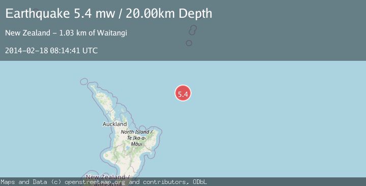
A 5.4 magnitude earthquake struck on SOUTH OF KERMADEC ISLANDS, at Tue, 18 Feb 2014 08:14:41 GMT. Depth: 20km. Reviewed by EMSC seismologists, this moderate quake occurred at a magnitude type of mw.
Magnitude
5.4
mw
Source
EMSC
Intensity
-
Agency Reports
1 Sources| Source | Magnitude | Depth | Time |
|---|---|---|---|
| EMSCPrimary | 5.4 | 20 km | 12 years ago |
Earthquake Details
AutomaticEvent IDemsc_EMSC_20140218_0000023
Tsunami PotentialNo
Magnitude Typemw
Nearest Places
- Kibblewhite Seamount134.7 km
- Brothers Seamount147.2 km
- James Healy Seamount153.5 km
- Cotton Seamount154.7 km
- Ngātoroirangi Seamount159.0 km
Comments
Join the discussion about this event.
Latest Earthquakes
2.0Mag
Southern Alaska
Time7 minutes ago
Depth26.61 km
SourceVYT (Automatic)
2.8Mag
Central Alaska
Time11 minutes ago
Depth292.36 km
SourceVYT (Automatic)
1.0Mag
12 km ESE of Anza, CA
Time16 minutes ago
Depth18.49 km
SourceUSGS (Automatic)
3.2Mag
Molucca Sea
Time17 minutes ago
Depth0.12 km
SourceVYT (Automatic)
1.0Mag
33 km SE of Minto, Alaska
Time19 minutes ago
Depth8.60 km
SourceUSGS (Automatic)
Nearby Earthquakes
5.3Mag
SOUTH OF KERMADEC ISLANDS
Time7 years ago
Depth9.00 km
SourceNEIC (Automatic)
5.5Mag
EAST OF NORTH ISLAND, N.Z.
Time6 years ago
Depth10.00 km
SourceEMSC (Automatic)
5.0Mag
EAST OF NORTH ISLAND, N.Z.
Time1 year ago
Depth10.00 km
SourceEMSC (Automatic)
5.0Mag
SOUTH OF KERMADEC ISLANDS
Time5 years ago
Depth10.00 km
SourceEMSC (Automatic)
5.6Mag
SOUTH OF KERMADEC ISLANDS
Time11 years ago
Depth20.00 km
SourceEMSC (Automatic)