Earthquake SOUTH SANDWICH ISLANDS REGION
Mon, 16 Feb 2015 22:01:00 GMT
Time11 years ago
Location
-55.6000, -28.4500
Depth
60.0 KM
Event Summary
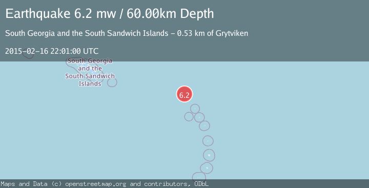
A 6.2 magnitude earthquake struck on SOUTH SANDWICH ISLANDS REGION, at Mon, 16 Feb 2015 22:01:00 GMT. Depth: 60km. Reviewed by EMSC seismologists, this strong quake occurred at a magnitude type of mw.
Magnitude
6.2
mw
Source
EMSC
Intensity
-
Agency Reports
1 Sources| Source | Magnitude | Depth | Time |
|---|---|---|---|
| EMSCPrimary | 6.2 | 60 km | 11 years ago |
Earthquake Details
AutomaticEvent IDemsc_EMSC_20150216_0000069
Tsunami PotentialNo
Magnitude Typemw
Nearest Places
- 46.2 km
- 75.4 km
- 92.6 km
- 93.6 km
- 94.1 km
Comments
Join the discussion about this event.
Latest Earthquakes
1.8Mag
85 km NE of Tonopah, Nevada
Time14 hours ago
Depth6.04 km
SourceUSGS (Automatic)
1.8Mag
81 km NE of Tonopah, Nevada
Time14 hours ago
Depth11.57 km
SourceUSGS (Automatic)
2.1Mag
Seram, Indonesia
Time14 hours ago
Depth4.91 km
SourceBMKG
1.6Mag
94 km NE of Tonopah, Nevada
Time14 hours ago
Depth12.22 km
SourceUSGS (Automatic)
1.5Mag
PYRENEES
Time14 hours ago
Depth0.00 km
SourceIGN (Automatic)
Nearby Earthquakes
5.0Mag
SOUTH SANDWICH ISLANDS REGION
Time11 years ago
Depth40.00 km
SourceEMSC (Automatic)
5.1Mag
SOUTH SANDWICH ISLANDS REGION
Time12 years ago
Depth10.00 km
SourceEMSC (Automatic)
5.2Mag
SOUTH SANDWICH ISLANDS REGION
Time5 years ago
Depth27.00 km
SourceEMSC (Automatic)
5.0Mag
SOUTH SANDWICH ISLANDS REGION
Time11 years ago
Depth40.00 km
SourceEMSC (Automatic)
5.5Mag
SOUTH SANDWICH ISLANDS REGION
Time11 years ago
Depth10.00 km
SourceEMSC (Automatic)