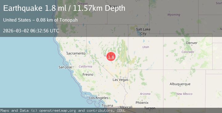
Earthquake 81 km NE of Tonopah, Nevada
Mon, 02 Mar 2026 06:32:56 GMT
Time1 hour ago
Location
38.4881, -116.4657
Depth
11.6 KM
Event Summary
A 1.8 magnitude earthquake struck on 81 km NE of Tonopah, Nevada, at Mon, 02 Mar 2026 06:32:56 GMT. Depth: 11.5702km. Reviewed by USGS seismologists, this minor quake occurred at a magnitude type of ml.
Magnitude
1.8
ml
Source
USGS
Intensity
-
Agency Reports
1 Sources| Source | Magnitude | Depth | Time |
|---|---|---|---|
| USGSPrimary | 1.8 | 12 km | 1 hour ago |
Earthquake Details
AutomaticEvent IDusgs_nn00911611
Tsunami PotentialNo
Magnitude Typeml
Nearest Places
- 3.7 km
- 4.8 km
- 4.9 km
- 5.1 km
- 5.3 km
Comments
Join the discussion about this event.
Latest Earthquakes
1.6Mag
94 km NE of Tonopah, Nevada
Time1 hour ago
Depth12.22 km
SourceUSGS (Automatic)
3.0Mag
southeast central Pacific Ocean
Time1 hour ago
Depth369.75 km
SourceVYT (Automatic)
1.1Mag
23 km N of Borrego Springs, CA
Time2 hours ago
Depth6.07 km
SourceUSGS (Automatic)
0.6Mag
8 km NW of The Geysers, CA
Time2 hours ago
Depth1.73 km
SourceUSGS (Automatic)
2.7Mag
Southern Sumatra, Indonesia
Time2 hours ago
Depth59.73 km
SourceBMKG
Nearby Earthquakes
1.8Mag
81 km NE of Tonopah, Nevada
Time1 day ago
Depth0.05 km
SourceUSGS (Automatic)
3.5Mag
NEVADA
Time13 hours ago
Depth5.60 km
SourceNN (Automatic)
1.6Mag
81 km NE of Tonopah, Nevada
Time1 day ago
Depth0.05 km
SourceUSGS (Automatic)
3.1Mag
82 km NE of Tonopah, Nevada
Time1 day ago
Depth6.25 km
SourceUSGS (Automatic)
1.8Mag
81 km NE of Tonopah, Nevada
Time14 hours ago
Depth0.06 km
SourceUSGS (Automatic)