Earthquake MANIPUR, INDIA REGION
Sun, 03 Jan 2016 23:05:20 GMT
Time10 years ago
Location
24.8300, 93.6100
Depth
40.0 KM
Event Summary
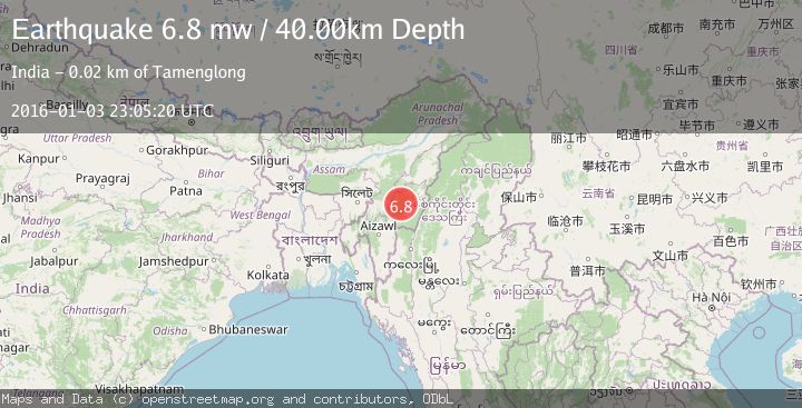
A 6.8 magnitude earthquake struck on MANIPUR, INDIA REGION, at Sun, 03 Jan 2016 23:05:20 GMT. Depth: 40km. Reviewed by EMSC seismologists, this strong quake occurred at a magnitude type of mw.
Magnitude
6.8
mw
Source
EMSC
Intensity
-
Agency Reports
1 Sources| Source | Magnitude | Depth | Time |
|---|---|---|---|
| EMSCPrimary | 6.8 | 40 km | 10 years ago |
Earthquake Details
AutomaticEvent IDemsc_EMSC_20160103_0000084
Tsunami PotentialNo
Magnitude Typemw
Nearest Places
- Lukhambi7.0 km
- Langkhong7.1 km
- Charoi Chakoklong7.2 km
- Haochong9.5 km
- Haochong10.1 km
Comments
Join the discussion about this event.
Latest Earthquakes
2.4Mag
Sumbawa Region, Indonesia
Time18 hours ago
Depth20.31 km
SourceBMKG
1.2Mag
3 km N of The Geysers, CA
Time18 hours ago
Depth1.73 km
SourceUSGS (Automatic)
2.2Mag
Central Alaska
Time18 hours ago
Depth9.77 km
SourceVYT (Automatic)
2.3Mag
Sulawesi, Indonesia
Time18 hours ago
Depth0.00 km
SourceVYT (Automatic)
3.5Mag
northern Colombia
Time18 hours ago
Depth205.20 km
SourceVYT (Automatic)
Nearby Earthquakes
3.0Mag
MANIPUR, INDIA REGION
Time1 year ago
Depth28.00 km
SourceNDI (Automatic)
3.0Mag
MANIPUR, INDIA REGION
Time4 months ago
Depth5.00 km
SourceNDI (Automatic)
2.5Mag
MANIPUR, INDIA REGION
Time2 weeks ago
Depth35.00 km
SourceNDI (Automatic)
5.4Mag
MANIPUR, INDIA REGION
Time5 years ago
Depth60.00 km
SourceEMSC (Automatic)
3.0Mag
MANIPUR, INDIA REGION
Time1 year ago
Depth20.00 km
SourceNDI (Automatic)