Earthquake SIMEULUE, INDONESIA
Tue, 19 Jan 2016 02:02:04 GMT
Time10 years ago
Location
2.1400, 96.6800
Depth
10.0 KM
Event Summary
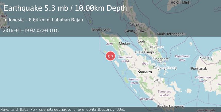
A 5.3 magnitude earthquake struck on SIMEULUE, INDONESIA, at Tue, 19 Jan 2016 02:02:04 GMT. Depth: 10km. Reviewed by EMSC seismologists, this moderate quake occurred at a magnitude type of mb.
Magnitude
5.3
mb
Source
EMSC
Intensity
-
Agency Reports
1 Sources| Source | Magnitude | Depth | Time |
|---|---|---|---|
| EMSCPrimary | 5.3 | 10 km | 10 years ago |
Earthquake Details
AutomaticEvent IDemsc_EMSC_20160119_0000007
Tsunami PotentialNo
Magnitude Typemb
Nearest Places
- Pulau Lasia5.7 km
- Karang Suffolk5.8 km
- Gampong Labuhan Bajau6.3 km
- Pulau Babi6.6 km
- Pulau Reusam7.1 km
Comments
Join the discussion about this event.
Latest Earthquakes
1.4Mag
EASTERN TURKEY
Time6 minutes ago
Depth6.80 km
SourceAFAD (Automatic)
1.7Mag
northern Alaska
Time7 minutes ago
Depth4.64 km
SourceVYT (Automatic)
1.2Mag
5 km WNW of The Geysers, CA
Time13 minutes ago
Depth3.19 km
SourceUSGS (Automatic)
3.4Mag
Sulawesi, Indonesia
Time16 minutes ago
Depth27.95 km
SourceVYT (Automatic)
1.6Mag
Central Alaska
Time17 minutes ago
Depth18.07 km
SourceVYT (Automatic)
Nearby Earthquakes
3.0Mag
SIMEULUE, INDONESIA
Time8 months ago
Depth11.00 km
SourceBMKG (Automatic)
5.3Mag
SIMEULUE, INDONESIA
Time12 years ago
Depth6.00 km
SourceEMSC (Automatic)
5.3Mag
SIMEULUE, INDONESIA
Time14 years ago
Depth30.00 km
SourceEMSC (Automatic)
5.8Mag
SIMEULUE, INDONESIA
Time5 months ago
Depth10.00 km
SourceEMSC (Automatic)
5.2Mag
SIMEULUE, INDONESIA
Time19 years ago
Depth30.00 km
SourceEMSC (Automatic)