Earthquake SIMEULUE, INDONESIA
Mon, 02 Dec 2013 07:34:55 GMT
Time12 years ago
Location
2.1800, 96.6900
Depth
6.0 KM
Event Summary
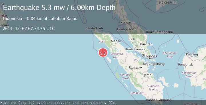
A 5.3 magnitude earthquake struck on SIMEULUE, INDONESIA, at Mon, 02 Dec 2013 07:34:55 GMT. Depth: 6km. Reviewed by EMSC seismologists, this moderate quake occurred at a magnitude type of mw.
Magnitude
5.3
mw
Source
EMSC
Intensity
-
Agency Reports
1 Sources| Source | Magnitude | Depth | Time |
|---|---|---|---|
| EMSCPrimary | 5.3 | 6 km | 12 years ago |
Earthquake Details
AutomaticEvent IDemsc_EMSC_20131202_0000043
Tsunami PotentialNo
Magnitude Typemw
Nearest Places
- Karang Suffolk1.2 km
- Pulau Lasia6.0 km
- Pulau Reusam6.3 km
- Gampong Labuhan Bajau10.7 km
- Pulau Babi11.0 km
Comments
Join the discussion about this event.
Latest Earthquakes
2.2Mag
Java, Indonesia
Time18 hours ago
Depth30.94 km
SourceBMKG
2.0Mag
Seram, Indonesia
Time18 hours ago
Depth68.21 km
SourceBMKG
3.5Mag
near the coast of Antofagasta, Chile
Time18 hours ago
Depth0.00 km
SourceVYT (Automatic)
3.3Mag
SALTA, ARGENTINA
Time18 hours ago
Depth188.00 km
SourceNSNA (Automatic)
1.7Mag
Southern California
Time18 hours ago
Depth0.00 km
SourceVYT (Automatic)
Nearby Earthquakes
5.3Mag
SIMEULUE, INDONESIA
Time10 years ago
Depth10.00 km
SourceEMSC (Automatic)
5.2Mag
SIMEULUE, INDONESIA
Time19 years ago
Depth30.00 km
SourceEMSC (Automatic)
3.0Mag
SIMEULUE, INDONESIA
Time8 months ago
Depth11.00 km
SourceBMKG (Automatic)
5.8Mag
SIMEULUE, INDONESIA
Time5 months ago
Depth10.00 km
SourceEMSC (Automatic)
5.0Mag
SIMEULUE, INDONESIA
Time20 years ago
Depth75.00 km
SourceEMSC (Automatic)