Earthquake KERMADEC ISLANDS REGION
Mon, 01 Feb 2016 19:00:44 GMT
Time10 years ago
Location
-30.9400, -179.9600
Depth
382.0 KM
Event Summary
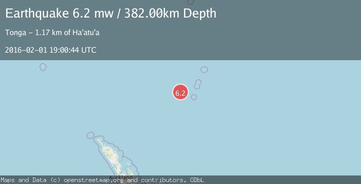
A 6.2 magnitude earthquake struck on KERMADEC ISLANDS REGION, at Mon, 01 Feb 2016 19:00:44 GMT. Depth: 382km. Reviewed by EMSC seismologists, this strong quake occurred at a magnitude type of mw.
Magnitude
6.2
mw
Source
EMSC
Intensity
-
Agency Reports
1 Sources| Source | Magnitude | Depth | Time |
|---|---|---|---|
| EMSCPrimary | 6.2 | 382 km | 10 years ago |
Earthquake Details
AutomaticEvent IDemsc_EMSC_20160201_0000072
Tsunami PotentialNo
Magnitude Typemw
Nearest Places
- Havre Trough76.1 km
- Havre Seamount88.4 km
- Havre Rock102.1 km
- Colville Ridge104.6 km
- L'Esperance Rock114.8 km
Comments
Join the discussion about this event.
Latest Earthquakes
2.7Mag
Antofagasta, Chile
Time12 minutes ago
Depth84.84 km
SourceVYT (Automatic)
2.6Mag
Antofagasta, Chile
Time17 minutes ago
Depth155.15 km
SourceVYT (Automatic)
1.8Mag
western Texas
Time18 minutes ago
Depth10.50 km
SourceVYT (Automatic)
3.3Mag
CRETE, GREECE
Time19 minutes ago
Depth10.00 km
SourceNOA (Automatic)
4.7Mag
SANTA CRUZ ISLANDS
Time21 minutes ago
Depth227.40 km
SourceNEIC (Automatic)
Nearby Earthquakes
6.2Mag
KERMADEC ISLANDS REGION
Time18 years ago
Depth400.00 km
SourceEMSC (Automatic)
6.0Mag
KERMADEC ISLANDS REGION
Time8 years ago
Depth386.00 km
SourceEMSC (Automatic)
5.0Mag
KERMADEC ISLANDS REGION
Time10 years ago
Depth166.00 km
SourceGNS (Automatic)
5.3Mag
KERMADEC ISLANDS REGION
Time18 years ago
Depth277.00 km
SourceEMSC (Automatic)
5.1Mag
KERMADEC ISLANDS REGION
Time4 years ago
Depth361.00 km
SourceEMSC (Automatic)